This blog began its life as a chronicle of a solo walker when I hiked the Cotswold Way and Offa’s Dyke Path over the course of four weeks. I’d walked alone before that (a trip to Ireland with a few segments of three or four days walking) and I’d walked long distances with a companion when my sister Tracy and I did the Coast to Coast Path in northern England. Both experiences, being alone facing long spans and challenges and being with someone else to share the things I encounter, are great. But ramblinghank.com began from an impulse to write about walking alone.
But after that first epic trip, I learned to balance my rambles so that I get the best of both worlds. Every trip since then, I have done a split agenda, with some time walking alone and some time with company. Walking alone is good for my soul in one way, giving me time to settle with my thoughts while I explore a new place. I am something of an introvert based on the commonly used definition that says introverts recharge their batteries in time alone while extroverts recharge their batteries by spending time with other people. I can be, and enjoy being, gregarious with other people, but I do need my time alone. So a good long walk is like giving my batteries a big long charge.
But walking with others, you can share what you notice, and often your companions notice things you don’t. You can face difficult bits with the solidarity of togetherness. You can just enjoy the fact of being together.
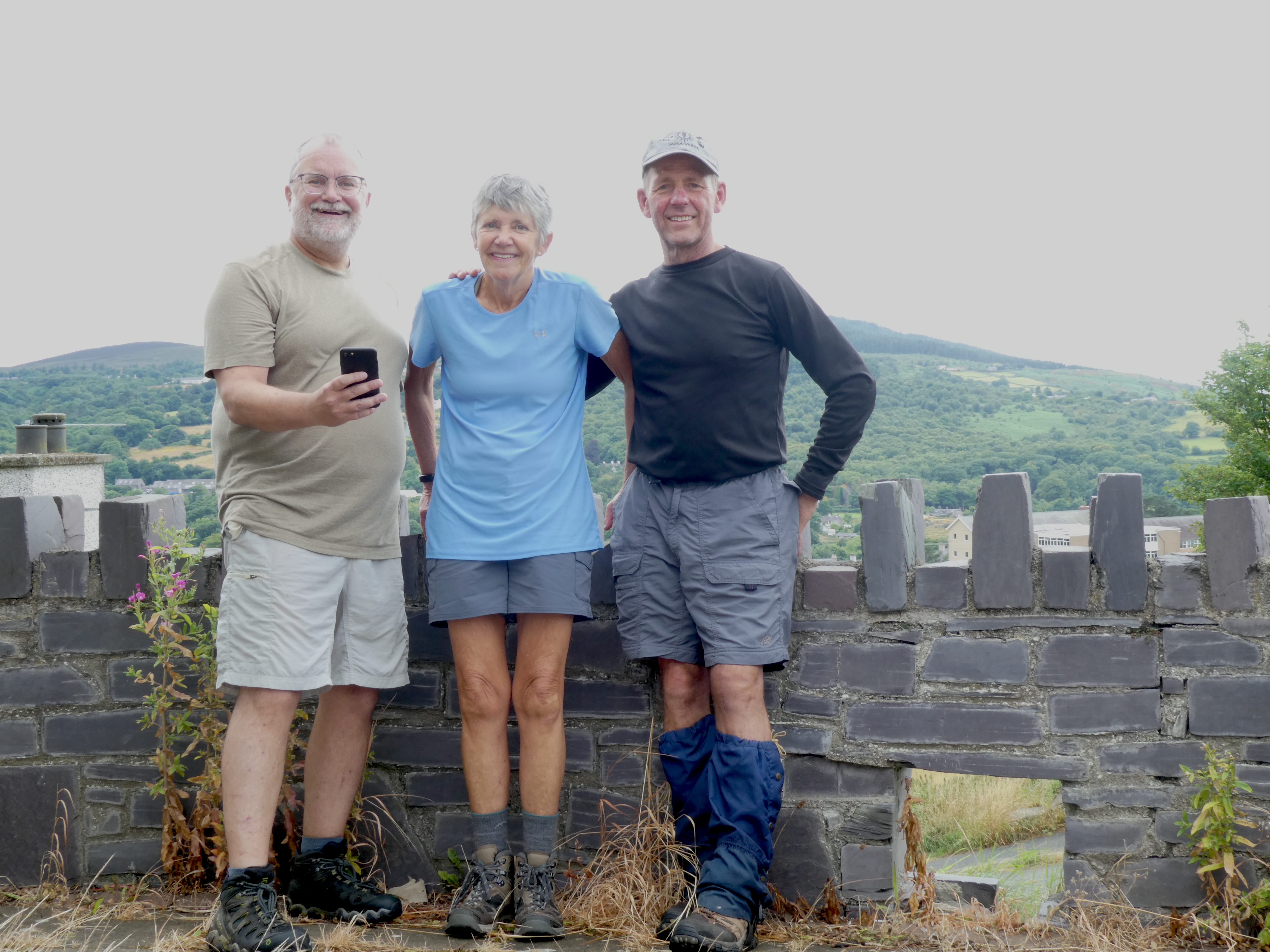
That’s the shift in the story of this year’s walk. Having finished the Wye Valley Walk alone, I am now joined by my sister Tracy and brother-in-law Tim. We’ve walked together before on a truly challenging hike in the Swiss Alps, so I know we hike well together. But Tim hasn’t experienced, as Tracy has with me several times now, the specific pleasues of the UK’s walking trails and the delights of luggage transfer, which allows for a more expansive wardrobe. And this year the stars aligned– they were planning to walk the West Highland Way in Scotland, a trip that had been delayed by Covid, and I was planning something in Wales, so why not meet up?
The Snowdonia Slate Trail offered a perfect match– Tracy and Tim like hills and big epic landscape, so I thought this walk would be a good match for all of us. After one day, I can say the walk is working out perfectly. It begins in Bangor, Wales, climbs up into the hills of Snowdonia, and does a loop to return to Bangor in 83 miles. We’ll do it in seven days.
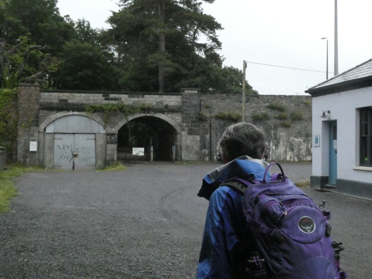
We met up in Bangor at our B&B after a few false starts for Tracy and Tim in the poorly written directions from the train station. To be kind, I’ll say that our accommodation was a sampling of what B&Bs used to be like– no WiFi, instant coffee in the morning, shared bathroom. But it had a simple charm. After I spent a crucial few hours in a laundrette to make my clothes acceptable for walking with others, we dined out on pizza. Bangor is a harbor town and has a nice High Street with a mix of pubs and restaurants, and it’s a college town, which I am sure helps with the restaurant scene.
And in the morning, we were off and walking. This trail is quite new, set up in the twenty-tens in hopes of driving a bit more tourism into some of the small towns in the Snowdonia region. Snowdonia is a popular tourist destination, but it seems many people go straight to Mount Snowdon, which can be hiked on a steep but manageable trail in a day. So they hit Llanberis, walk up (or take the train which, amazingly, goes up most of the mountain) take some pictures, and leave. That doesn’t help the other towns in this region, which were built on the slate quarrying industry. Hence, a trail was born to celebrate that slate mining history and spread the tourist cash around a bit. I’m all for it. After maybe half a mile of walking and a few hesitations, we got to the start of the trail. (I find it’s often hard to locate the starting points of trails, which are often sort of tucked into an odd spot in the middle of a town.
This trail starts at the harbor where slate came by rail to be shipped internationally. It follows the old slate rail lines (but not walking on converted rails-to-trails lines; just generally aiming up into the hills near the old train lines).
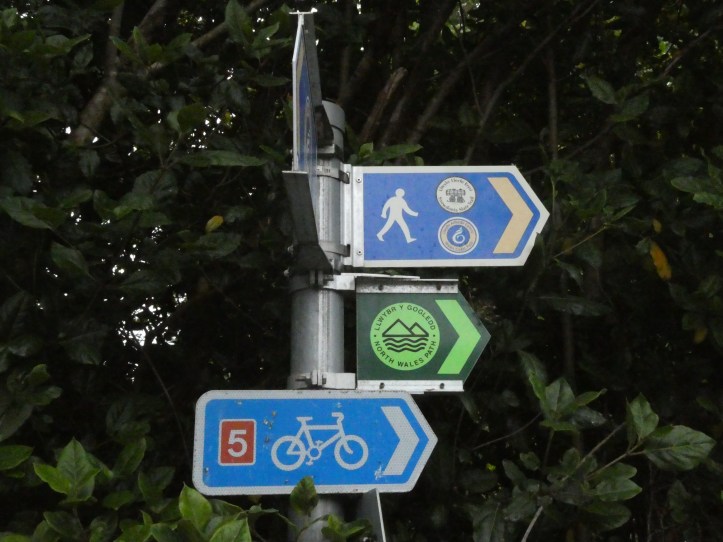

We spent the morning getting the feel for the waymarking, which is quite good. You don’t know that right away, so the first day is often an exercise in learning how seriously the waymarking has been taken. Having just survived the capricious and decaying signage of the Wye Valley Walk, I was ready for trouble but hoping for better marking on such a fresh trail. After we had encountered the first few turns and shifts that really required, and actually had, markings, we learned to trust the trailmakers, and for most of the first day the way signs were easy to spot when you need to turn off a road onto a footpath, or take the left instead of the right footpath. It’s reassuring, and I hope it will hold out.
The other period of adjustment is learning how to walk together. Who leads? How much talking? When and how is it okay to call for a halt? Because we’ve walked together before, Tracy and Tim and I know each other’s company. We are always careful to check in (“Do you want to lead for a while?” “Is this pace okay?”), but overall we can just relax into the walking and see what the trail shows us.
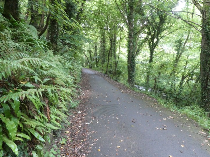
Of course, this first day involved a lot of elevation, since we were going from sea level up into the mountains of northern Wales. Most of the incline was fine. There were a few long steady climbs on paved roads that underlined the whole idea of going up, but there was a lot of interesting stuff to see along the way.
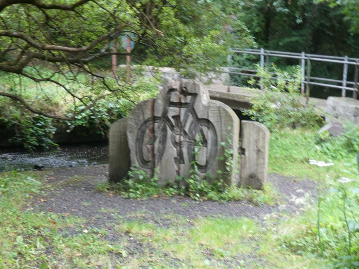
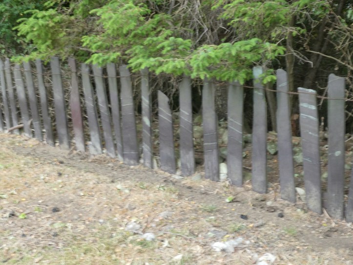
Slate is the defining feature of the geology, and the background hum of the built environment. With so much slate scrap from making all those roof tiles and floors (the slate industry in Wales at large export scale was a product of Victorian era trains and technology), slate is used everywhere, from the walls of kissing gates to building fences.

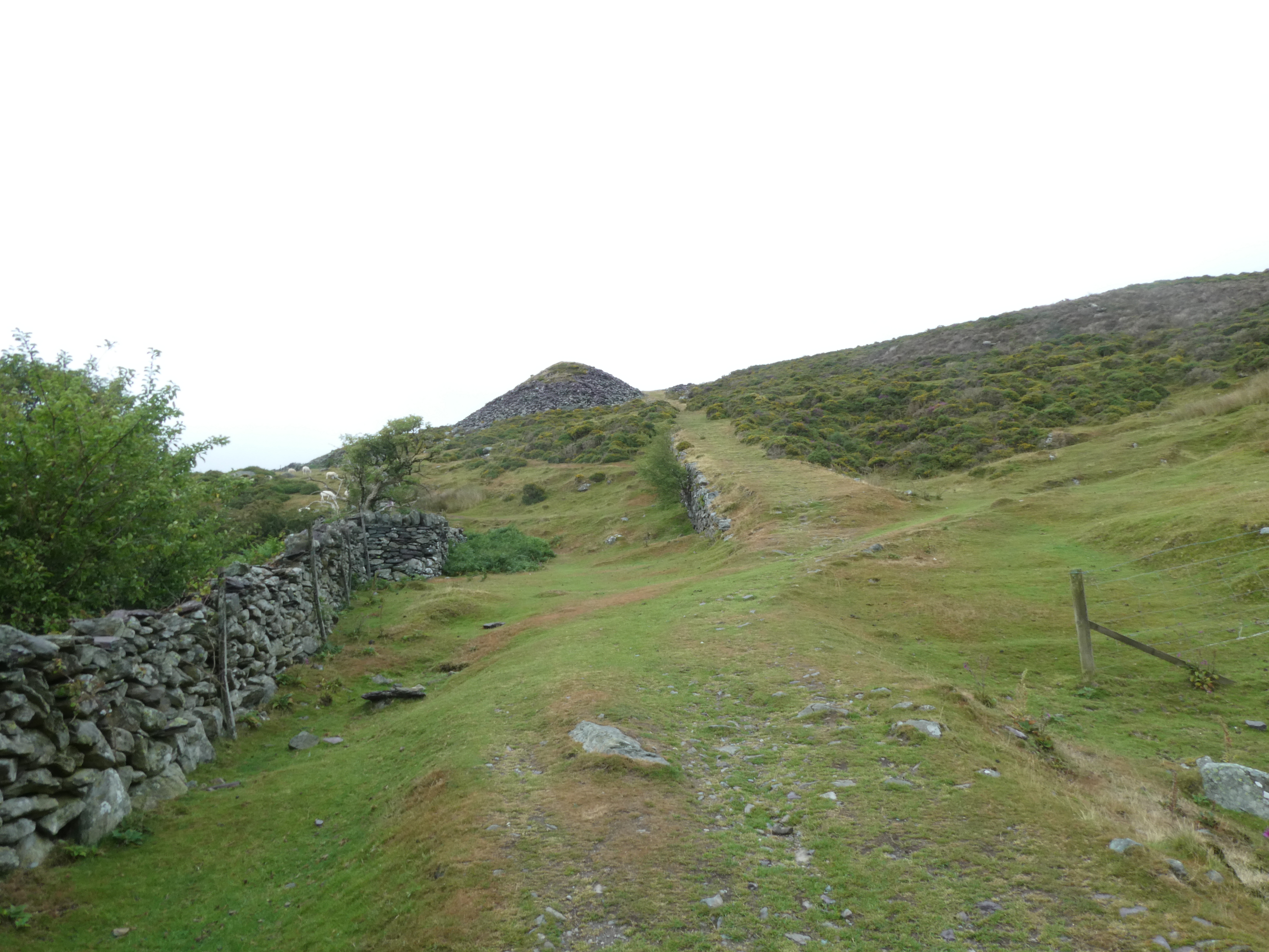
The trail also takes us past huge piles of ‘tailings,’ the slate from the mines and quarries that isn’t usable commercially.
The other challenge of this trail from a navigation standpoint is that there isn’t a book from which you naturally tear pages. The Slate Trail guide is spiral-bound, and we didn’t want, at least to start with, to tear it apart. So we have learned an interesting balance of navigation as we build our trust in the waymarking. We look for waymarks. When we think we’ve gone a ways and sort of want to see another waymark but don’t, we break out the guide from Tim’s pack (his pack has a convenient zippered pocket on the back that is easy to access and the perfect size for the book), reread the next few steps in the directions, and figure out where we are.
And of course we have the OS Map app, which can show us our location on a map that does include this trail. For very fine detail, it won’t always work– it can’t get so specific as to tell you within five feet if you are on or off the trail, but you can figure out by context if you’ve gone wrong, and if there’s a long stretch of no turns, it can reassure you that you haven’t gone too far and missed a turn. Because Tracy and Tim want to use the app in Scotland, we used today for Tim to get in a lot of practice using the app and getting a feel for it.
After a good morning of hiking up, mostly in woods and on country roads, we stopped to have a snack and for me to practive my camera’s phone-operated remote control, which is a fun toy, but only if you get the exposure right before you start using the remote. We’re a bit washed out in this photo, but I’m learning as I go.
After all that climbing up, we of course descended a bit into the town of Bethesda, and then hiked up and up and up on a road past a working slate mine (Tim, who read the guide more carefully and retained more than Tracy or me, informed us that it’s the largest slate mine still in operation in… Wales? The UK?), we got to a section of high open green, walking along a dirt path. The views back down to the sea were breathtaking but didn’t really translate in photographs.
There was a weird little building high up in this open nowhere, removed from our path by maybe 25 yards. Tim, with his natural curiosity and sense of adventure, wanted to see what it was, so Tracy and I rested on the trail for a few minutes while he explored. He got some photos, but we forgot to do a photo share, so I can’t show you now what he saw, but it was a strange little shack with a set of pipes in a yard, which Tim thinks were used for some sort of outgassing, maybe related to the mining. (I might share photos tomorrow now that I’ve been reminded we need to do evening photo shares.)
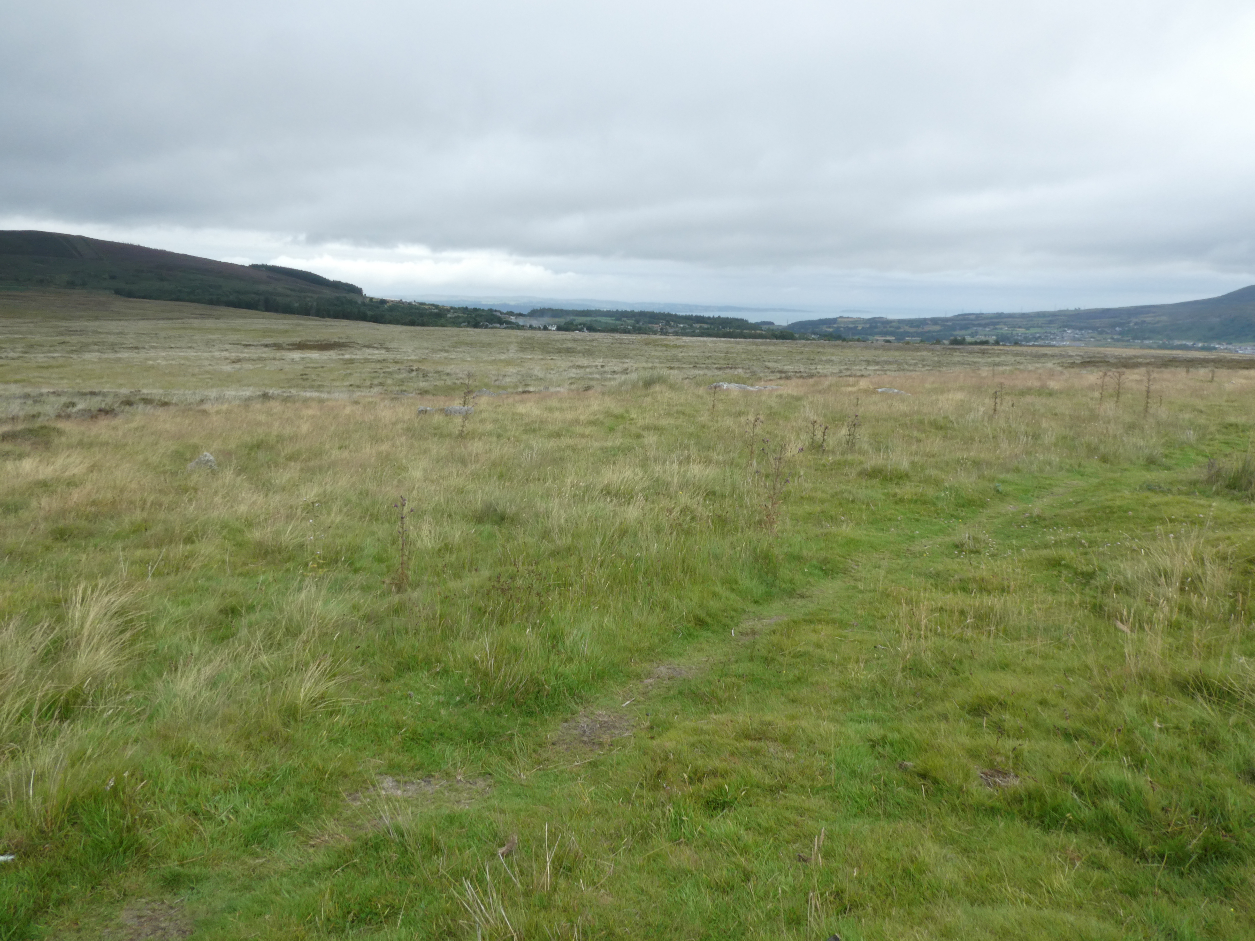
It was easy pleasant walking, and we were all remarking to each other about how easy and perfect it was, until we hit a boggy patch high in the middle of nowhere. The path just sort of tapered off into marsh grass and water of indeterminate depth. With bold spirits (and no options) we found our we through, but plunging into squishy boggy wetness hoping the grasses will somehow hold you up is exciting. Tim and Tracy did a better job than I of not sinking too deep, and I ended up with water in my boots. I didn’t want to stop and change socks until I was confident we were done with boggy bits, so we hiked on for a while, came off the lonely expanses to some farms and very remote country roads, and curved around the hills to a good stopping place where I called a halt for another snack and a change of socks. My feet, wet and wrinkled, were grateful.
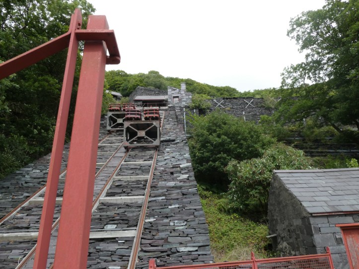
Having climbed to these high heights, we spent the last three or four miles of our 14-mile day descending as we continued to skirt the edge of a mountain (I hesitate between the words hill and mountain– these aren’t the alps, but Snowdonia is a mountain region, so I need to think of the massive green humps in the landscape, chock full of slate, as mountains). Very near Llanberis, our stopping point, we came to the Welsh Slate Mining Museum. We didn’t give it the deep attention it deserves, and we decided not to wait half an hour to see a live slate-splitting demonstration, but we got a feel from this huge former slate processing facility of just how huge this industry was.

And so we got to Llanberis, where our hotel is nice but very busy with a wedding happening pretty much as we arrived. We shed our gear, explored town just a tiny bit to satisfy some shopping needs (a postcard, a baseball cap for Tracy, a touristy refrigerator magnet for me), returned to the hotel for showers, and then dined out very early to try to beat the evening rush (Saturday in a smallish tourist town means it’s hard to get a table). Our meal, in the bar part of a restaurant, was nice, though I could have lived with a bit less noise from the locals gathered to watch the soccer match on the bar’s three huge screens.
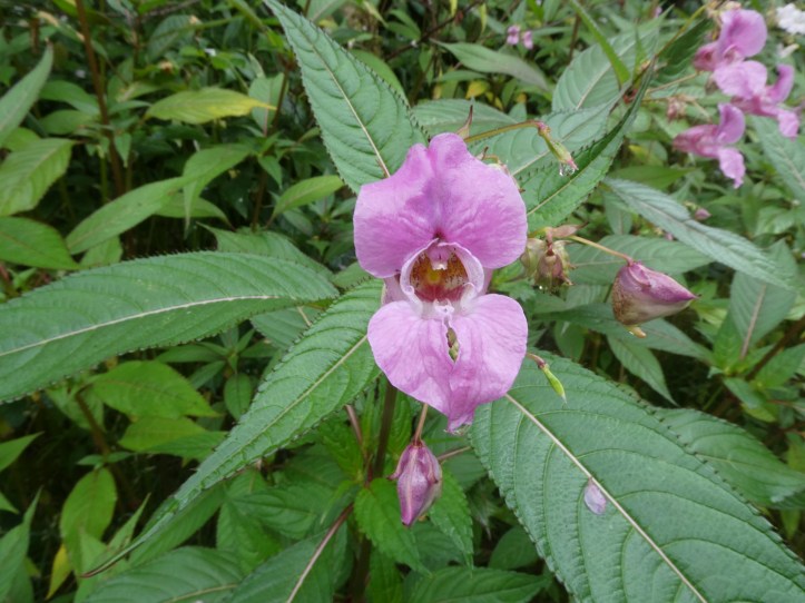
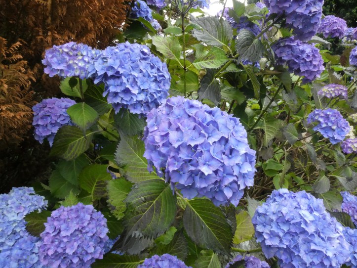
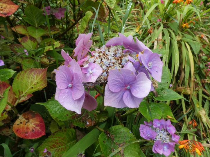
It was a light photography day, largely because I was enjoying being in company again and forgot to take my usual way too many photos, but I’ll try to remember to capture more in coming days. I’ll leave you with a few flower photos, because why not.

Looks wonderful you three! Sign me up for the next companion ramble❤️
Wonderful photos! Sounds like a great day together.