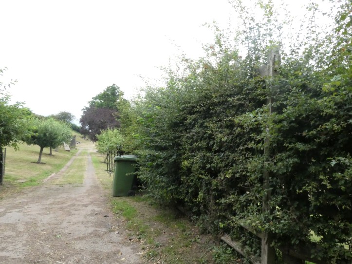

Each trail is its own distinct character, and it is not just to do with geography. Some trails feel like a pathway in daily use, welcoming you to step on and see where they head next. Others are coy, revealing their beauty reluctantly. Based on the last few days, the Wye Valley Way is indifferent, bordering on hostile to walkers. It’s not the physical demands of the walking; from that perspective, this trail matches with others I have walked. But the waymarking is so casual, intermittent, and unmaintained that the overall effect is to make you feel like the trail doesn’t want actual walkers. Just look at that marking in the slideshow above. Now imagine you are walking on a road and the guidebook says “after a telephone box, the trail turns into a path on the right.” (I should have done a sequence of three or four more approaching photos to convey how concealed that signage is.)
Here’s another:
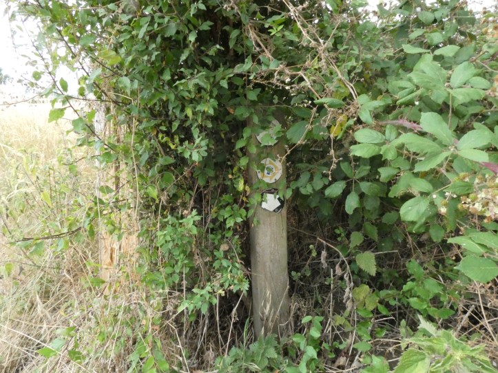
Look at the post in the center of the first photo. That’s the post in the second photo. Again, not that hard because I’ve told you we are looking for waymarking, but come on. And other turns in the path are completely unmarked, despite the guidebook claiming they are marked.
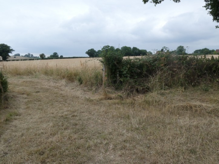
If you can find a waymarker in the above photo, you’ve done better than I did. I was hiking up a road, and the guidebook says to take the third turning on the left at a waymarker. This was, I swear to you, the second turning, and there is no waymarker, but after I’d continued another three or four hundred yards up the road and come to an actual paved road, I broke out the ordnance survey map and could clearly see that the paved road meant I’d come too far. Of course, this is partly a problem of the guidebook being both outdated. For instannce, though the guide refers to a turn at a classic red phone box, most telephone boxes have been removed, though some have been left in place and transformed into little emergency response stations with, I kid you not, kits that included automated external defibrillators in case of roadside heart attacks.
Earlier in the morning, I missed a marking and ended up following a lovely series of field edges that probably added a half a mile to my day before my random footpath rejoined the actual trail. Not that I am complaining about that diversion, since I enjoyed the agricultural walking immensely. Crops! A lovely house tucked into the hillside! An old ruined bridge!


Walking narratives thrive on adversity. A little pain, a little getting lost, a little frustration is what keeps the story interesting. Otherwise all you get is a lot of “And then I went up another hill. And the trail went back down the other side. And then there was another.”
With the heatwave over and temperatures back to normal, the walk from Ross-on-Wye–a lovely, hilly town with a long high street and the famous Hank’s Meat & Game butcher shop–to Fownhope is really quite lovely, with a long stretch of walking by the river (slightly longer for me than the route intends, cough cough) through a landscape that has transformed from the first two days’ close-folded river valleys into a wider landscape like open arms, with long stretches of gentle rising and falling and occasional bursts of steep walking just to keep you fresh.
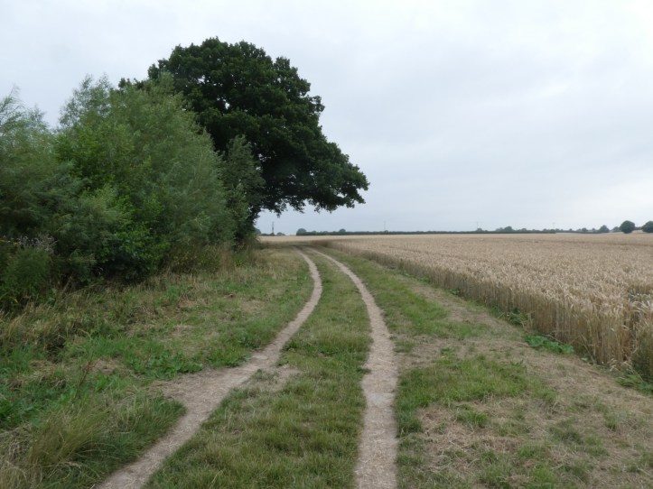
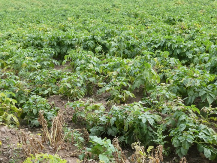
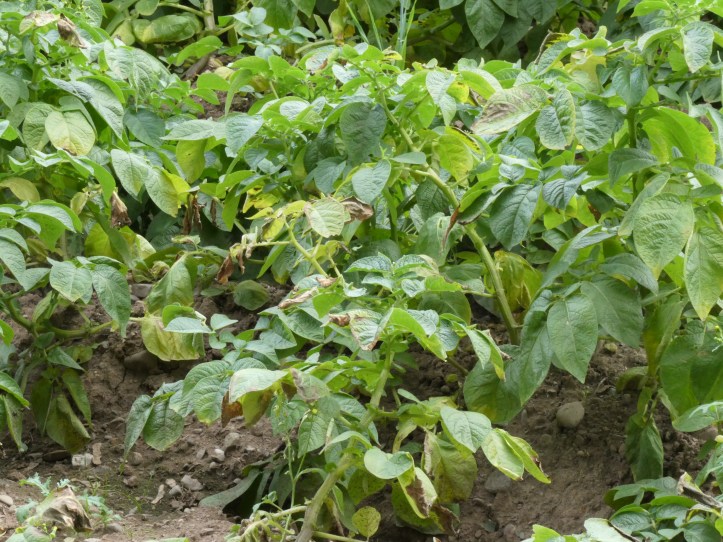
From town, the path descends to the riverside, and follows it for a good five miles, with pleasant variations. There are paths alongside crops (yes, even without my diversion you would see some crops), stretches on old farm tracks hardened by farm vehicles, bits that go through little forest plantations. And there are fun little moments like this encounter with a very placid herd of cows, who, as cows are wont to do, had clustered right where the trail cuts out of their pasture.
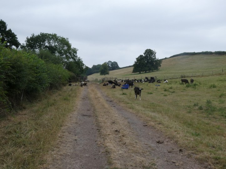
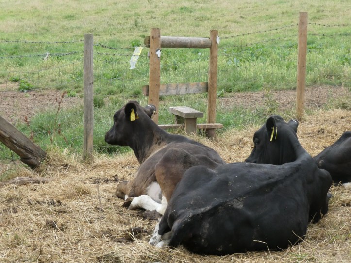
Yes, I had to get around those cows to climb over that stile. Yes, one wanted to come say hello, and seemed disappointed I wanted to practice social bovine distancing. And yes, the cows mostly just lay there, though the few closest to the stile begrudgingly stood up and walked a few paces to clear a path. It was delightful.
And as the trail climbs from the riverside up into the hills, ascended gradually and with only occasional gasping for breath, there are little surprises, like this piece of public art.
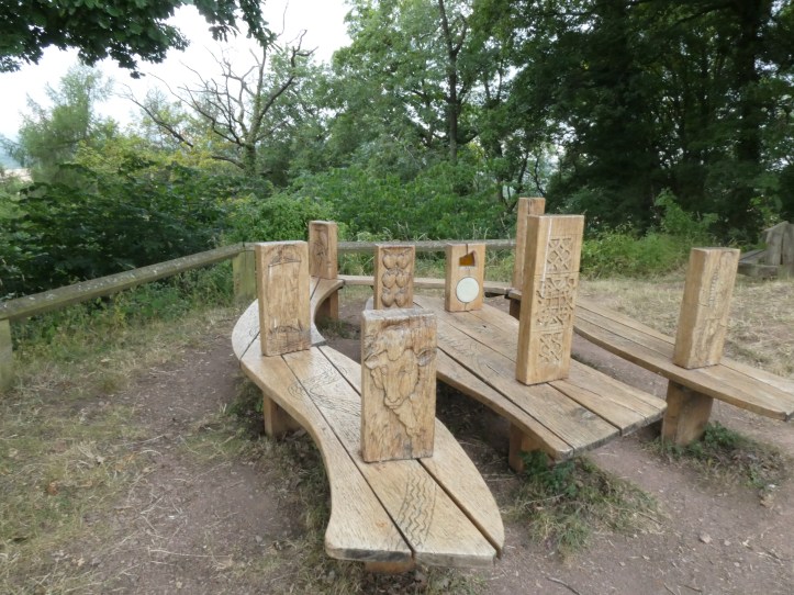
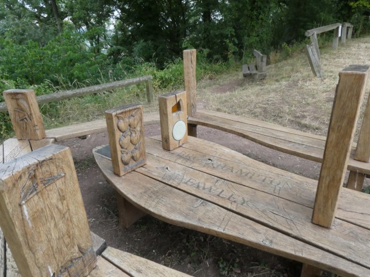
It’s a bench, but in the form of a winding river! With carved uprights of things you’ll see on the trail. I was, of course, obliged to sit and have a water break there.
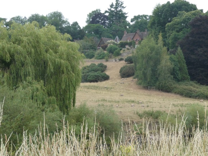
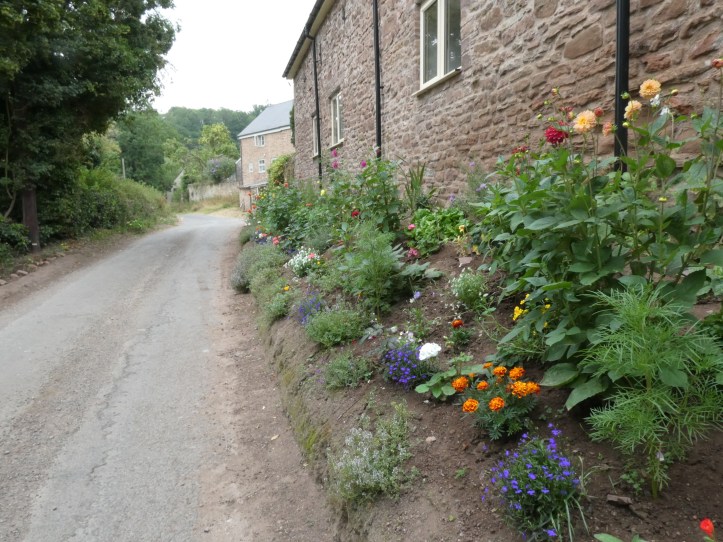
And there are always the lovely gardens that the British love to keep.
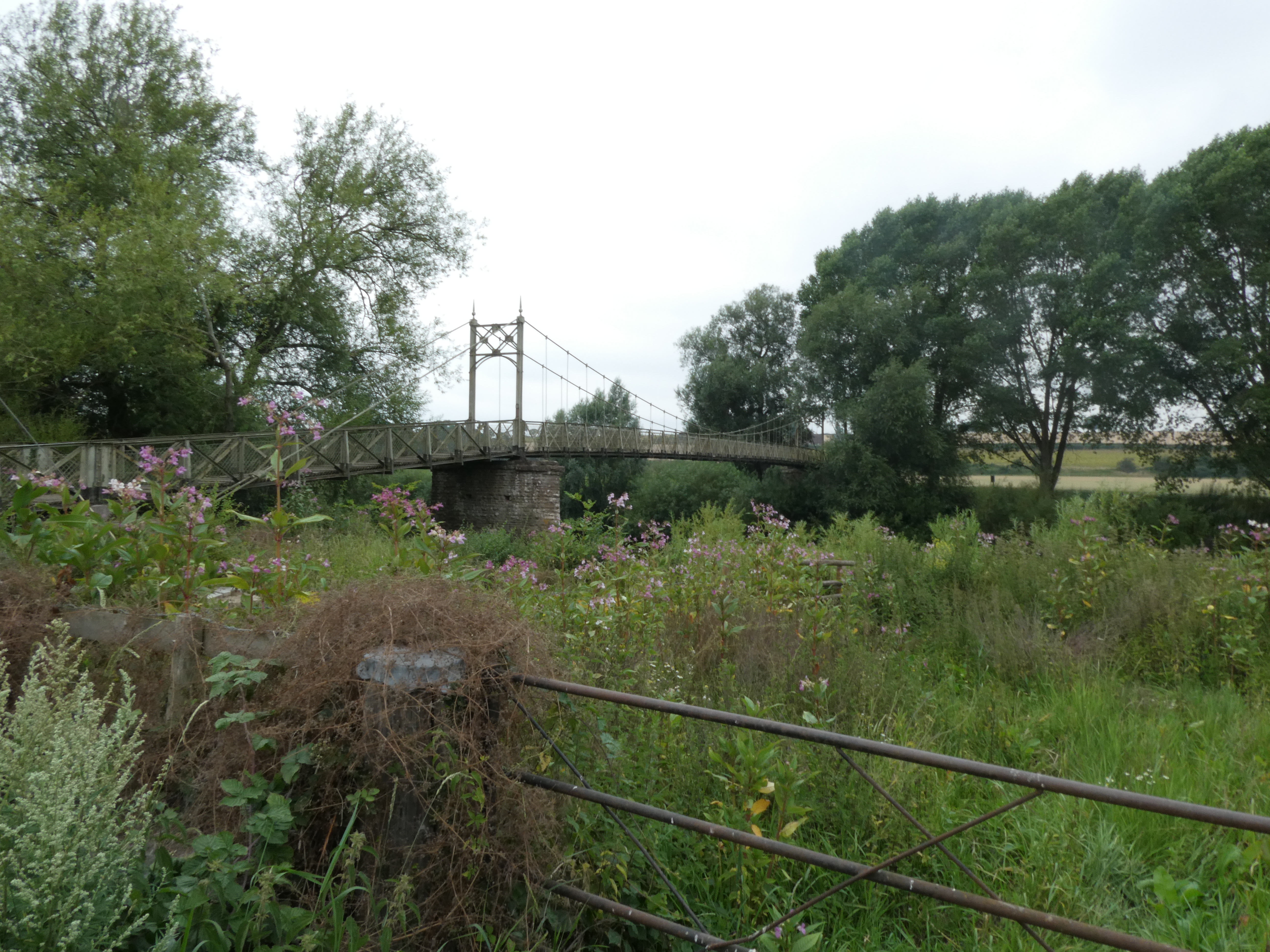
Oh, and the lovely footbridge which connects a little cluster of houses on one side of the river to… um… the other side of the river, with no evident reason why a footbridge was needed here.
Another feature of the landscape is the regular appearance of apple orchards. We are in cider country now, in Hereford. This part of western England and much of Wales are the heart of cider country, and also of perry-making (perry is made only from pears, and it is vastly superior to ‘pear cider,’ which is made with the more easily available apples and merely flavored with pears).
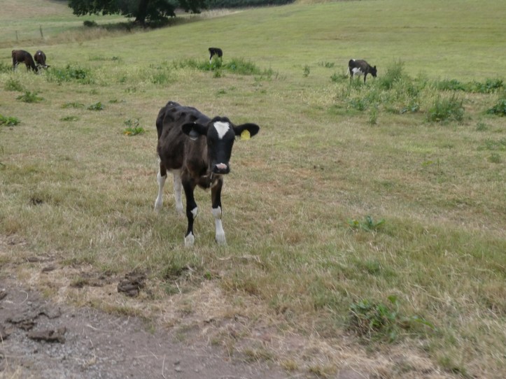
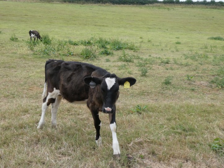
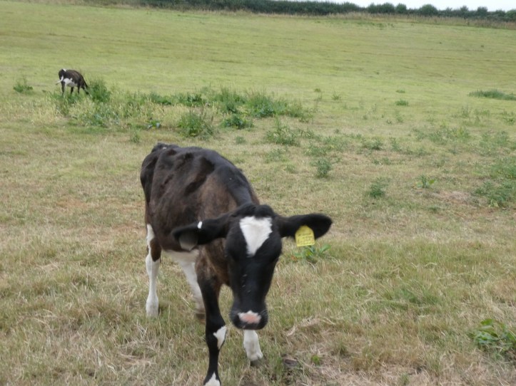
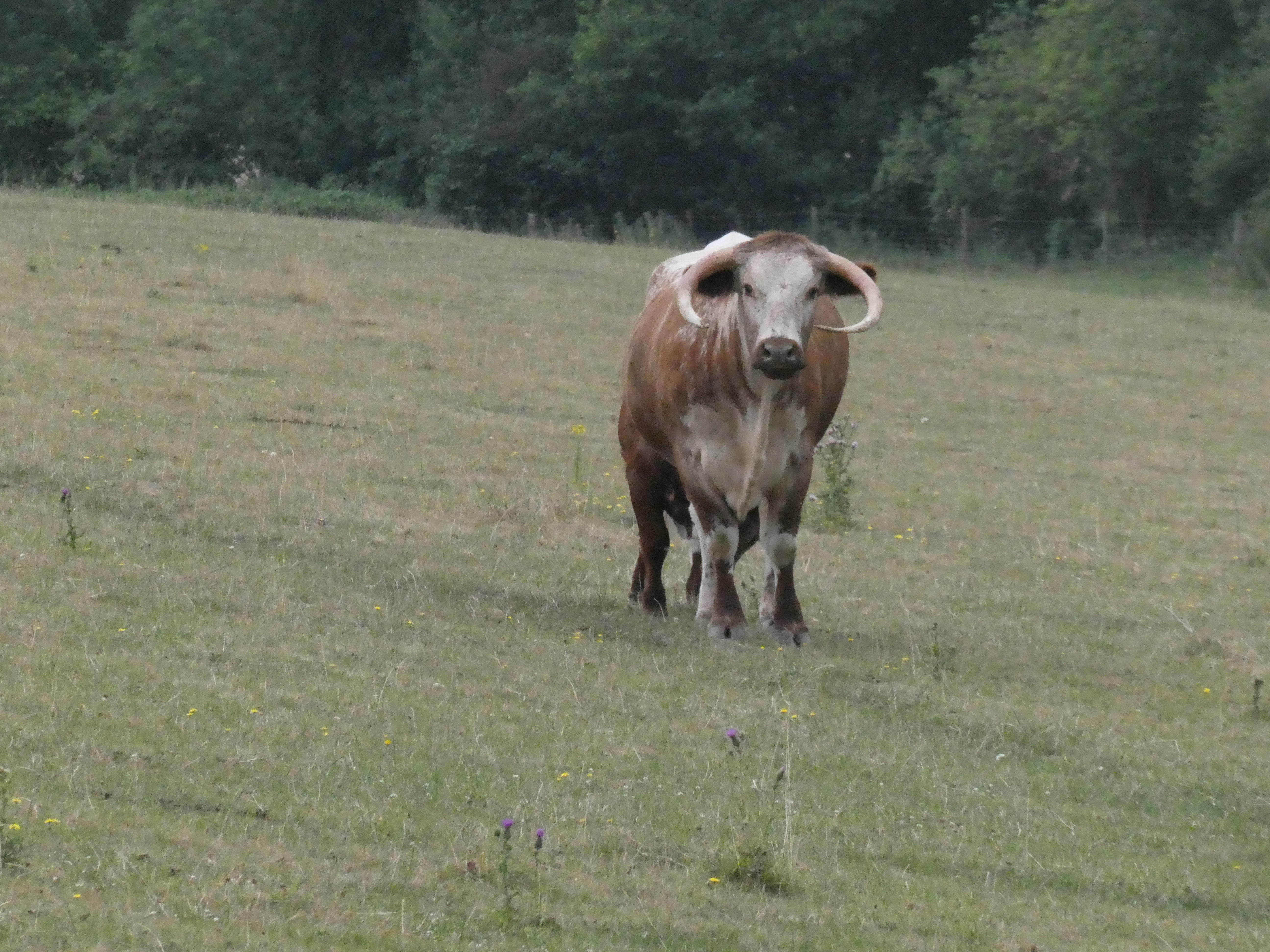
Can you see that I was getting a bit giddy with the camera today? What, you want another photo of cattle, but this time with horns? I’m on it.
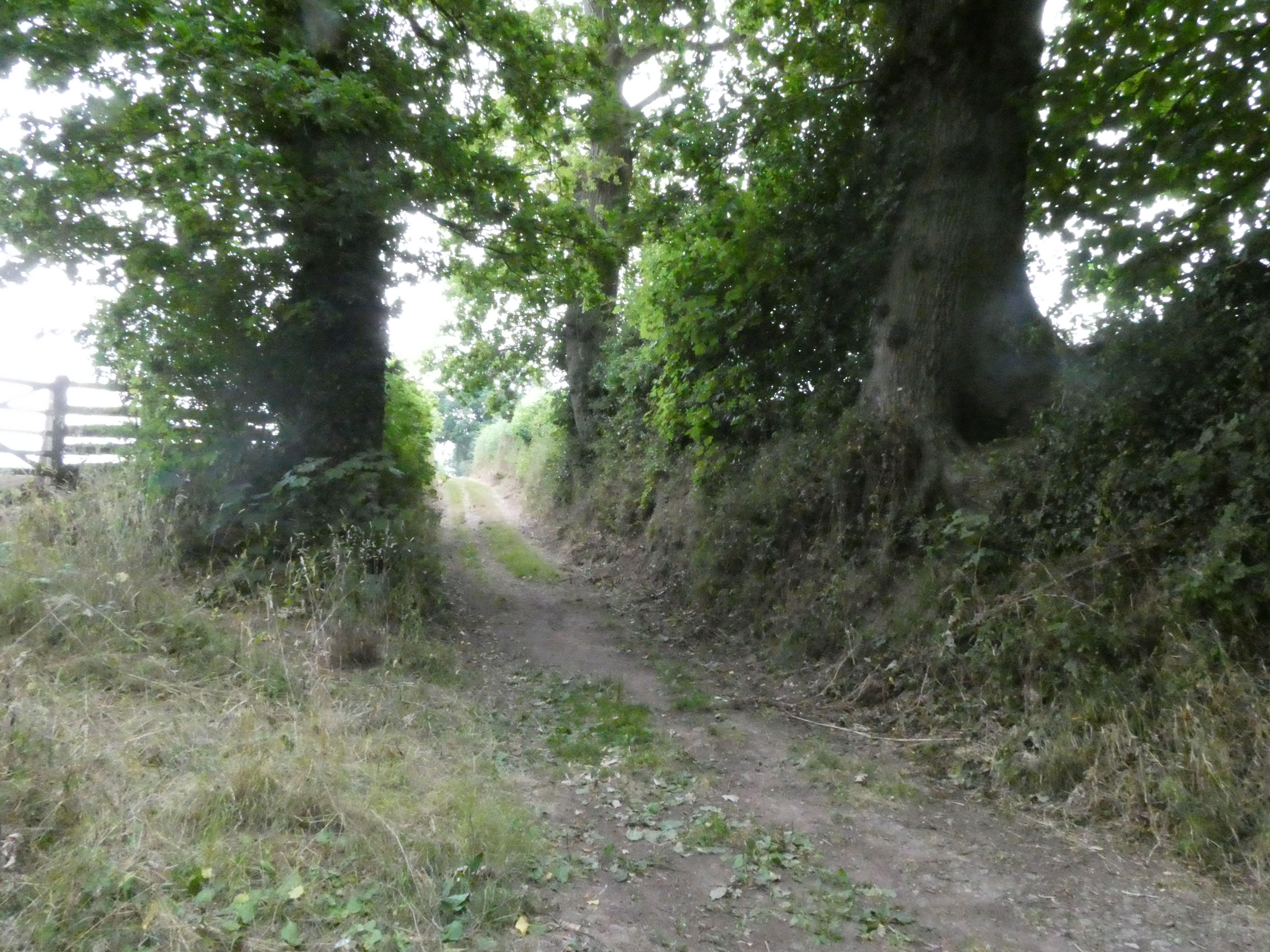
After some very pleasant hill walking and one more utterly baffling badly marked navigation through a tricky series of windy fields (I swear I’ll stop complaining until tomorrow…), the path rose into an amazing little forest preserve, which the guide tells me is a remainder of one of the
After some very pleasant hill walking and one more utterly baffling badly marked navigation through a tricky series of windy fields (I swear I’ll stop complaining until tomorrow…), the path rose into an amazing little forest preserve, which the guide tells me is a remainder of one of the oldest maintained forests in this part of England, with history of trees undisturbed here since the Middle Ages. It’s also a very nice walk in the woods.
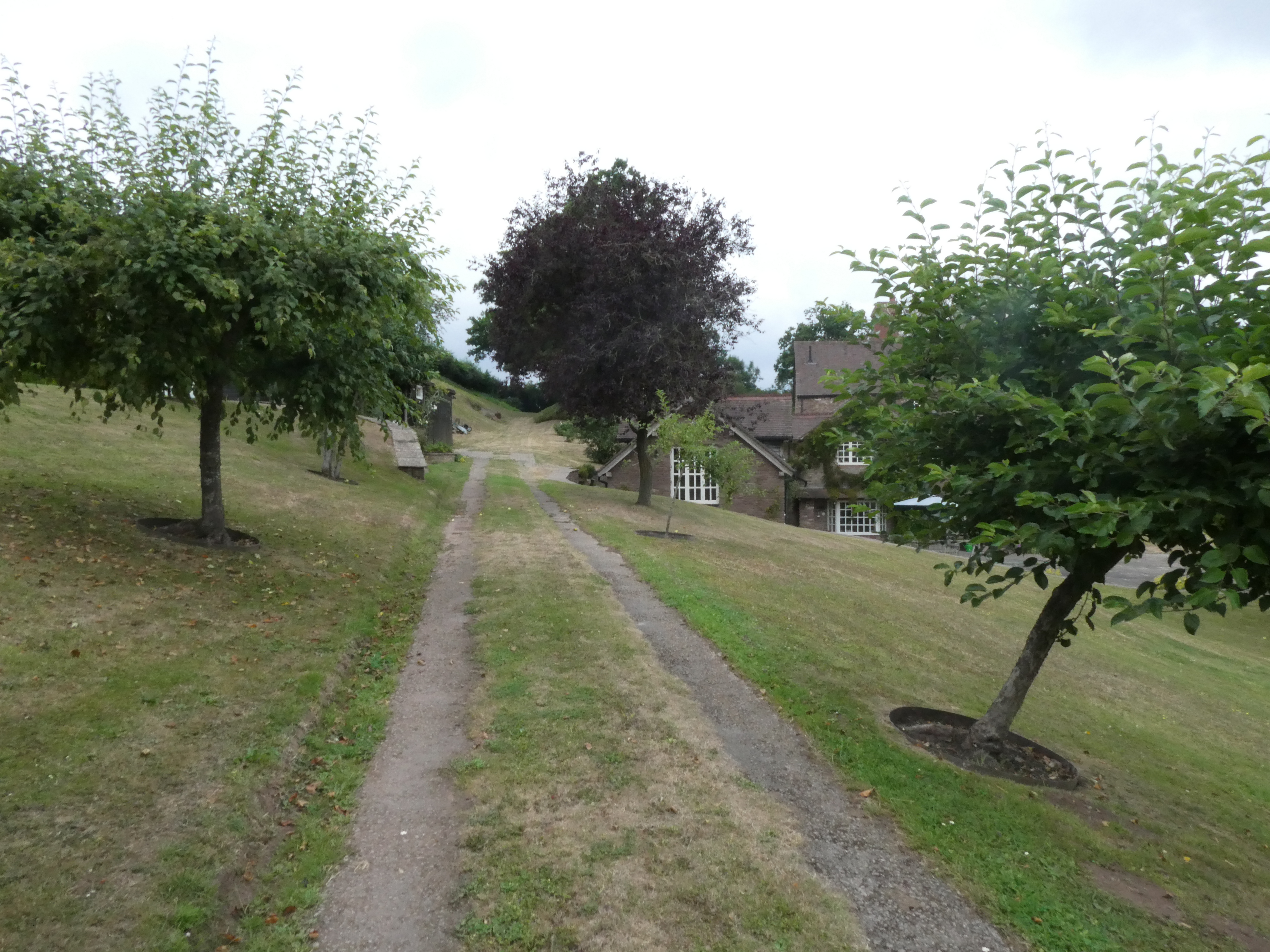
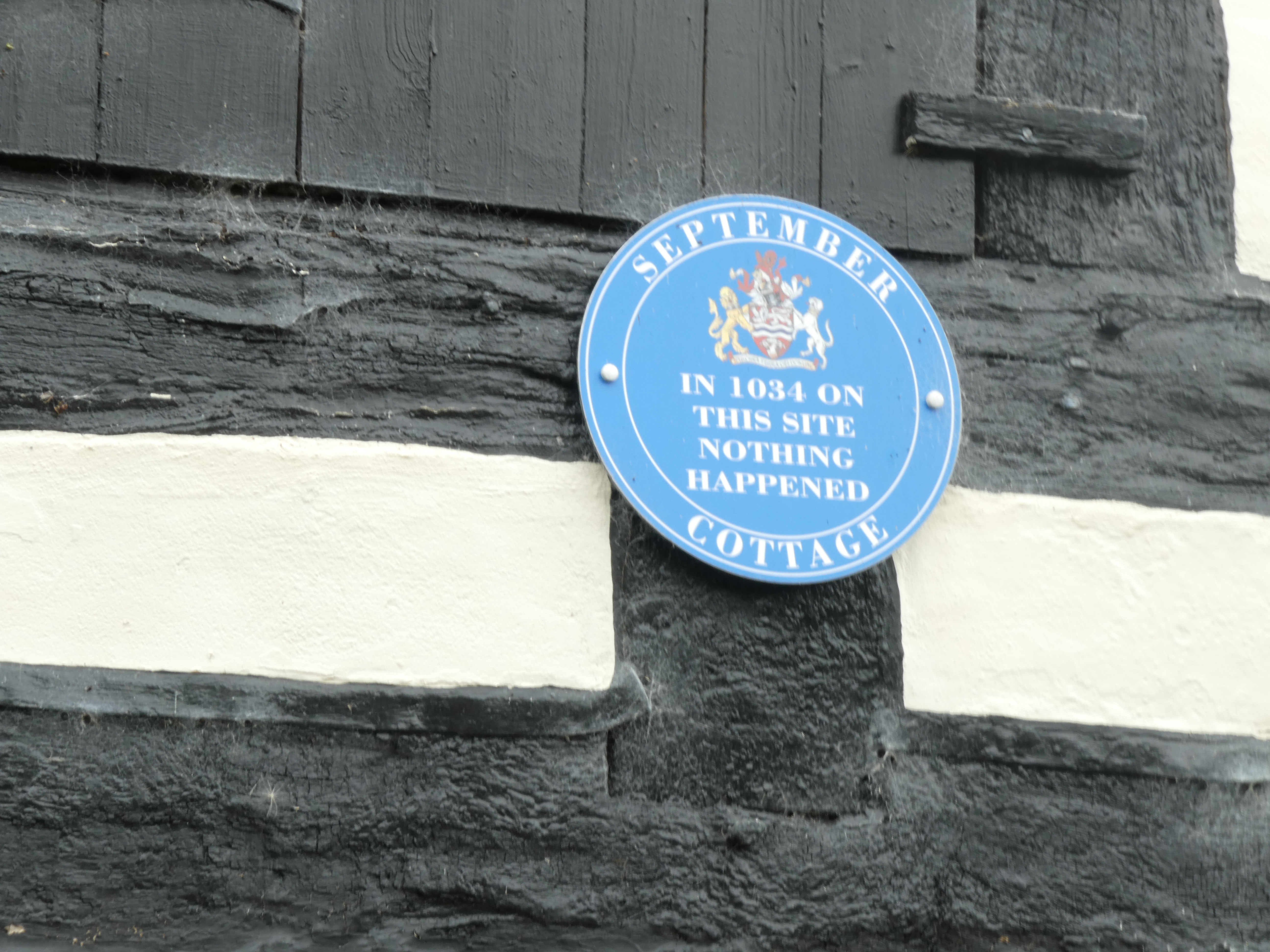
After one last bit of climbing to get to the heights of Common Hill, it was time to leave the trail and head down the hill into Fownhope, my stop for the night. It’s a rather long half a mile down a very narrow road (I literally had to lean into the hedges several times to let a car pass), where I passed this amusing sign on a house.
My B&B is beautiful, with my room in one half of what was probably a garage or other outbuilding. It’s been very nicely converted, and the shower has strong water pressure, so I was very content after a nice long shower. Dinner at the Green Man, the only place in the village to eat dinner (there is another pub, but it only does dinner on weekends). Because the heatwave had played havoc with their refrigeration and freezer, they were on a limited menu, but I was very happy with my cajun chicken wrap and chips (in the British sense- you know, big chunky french fries) with salt and vinegar.
Today’s walk was estimated in the guide as 11 miles. Given my extra bits and missed turns, I am calling it 12 miles. Tomorrow, only seven miles to the city of Hereford. What will I do with all the extra time? Well, Hereford has a Cider Museum… I assume there is a chance to sample the product as well.

And I thought that I would be afraid of encountering Bigfoot and chupacabras in the wild …
Idea. Does Wales need a person who can mark their trails? And keep them marked? And cut back nettles and briars in the process? This may be your calling.
Brother, you are singing my song. I felt like getting a weed wacker and attacking sections of the trail.