Hawkshead to Windermere: 8 miles, approx. 1160 feet of ascent*
- *Because we did not walk the first leg, from Coniston to Hawkshead, it’s hard to get and exact number for feet of ascent. I’ve estimated we did 60% of the elevation, based on the route profile.
Last night over dinner, we discussed the weather forecast (if you were assuming our dinners were like a meeting of the Algonquin Round Table, I am sorry to disappoint…), which was calling for solid rain for most for most of the day, possibly tapering off in the late morning to gentle rain, or maybe still raining until 3pm, or maybe just raining until that crackpot Noah had the last laugh on us all with his wacky ark-building scheme. All of us have walked enough to know that there are days when you simply have to call it and find transport to get to the next stop. But, with that tantalizing possibility that the weather might ease up a bit, we formed a plan: We could, if it looked bad in the morning, take a morning bus to Hawkshead, cutting out the first 4.5 miles or so of the walk, and see how the weather looked by the time we were there. There’s even a little museum there where we could kill time to see if the rain let up.
Let me pause and talk about not walking. I take these trips for pleasure (all the grouching on the blog about hill climbs should be read with the understanding that I keep doing this over and over, so obviously I love it), and the walking should be pleasurable. So when the weather would make it bad, not walking ought to make perfect sense. But… but… I’m walking a planned trail, and there’s a faint air of cheating in not walking. It’s like you’ve broken an unspoken agreement that the walking is what you signed up for, come hell or, as is fortunately more common than hell, high water (and high water is quite common in the rainy British climate).
And, as devoted readers will know from the ramble in Tuscany, once you break the contract for a day, the next break to hop on a bus feels easier. The whole trip could go arse over teakettle (look how British I am with the slang and whatnot! I’m definitely going home with a newly honed posh accent. People love that when Americans who’ve spent time in Britain adopt a mid-Atlantic drawl and talk about using the loo and putting something in the boot of the car, right?). So, I approach not walking with a healthy respect and fear.
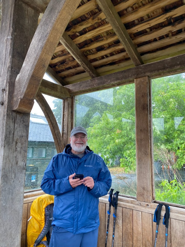
But when I woke up around 4am to the sound of truly solid, crop-soaking rain, I thought to myself, ‘yeah, we’re taking the bus to Hawkshead for sure.’ And a look at the updated forecast made me start psyching myself up to commit to not walking. Over breakfast, we were in quick agreement to take the 9am bus and probably look at the Hawkshead Grammar School Museum and maybe get a coffee to see if the weather would, as the forecast suggested, get a bit milder in the late morning or early afternoon. So off we went.

As anyone who has spent time in small towns in England knows, the bus service between towns is impressive, but the roads are incredibly narrow. There were several times when we met cars coming in the other direction and I thought ‘no, it’s clearly impossible for us to get by’ but somehow the bus drivers know to the inch the width of the bus.
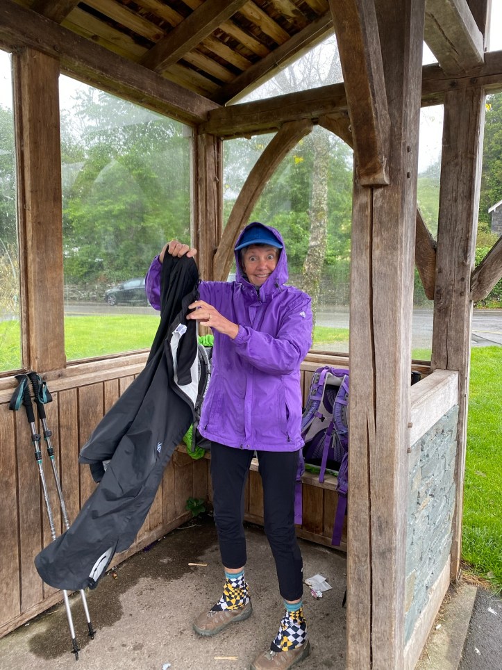
We arrived in Hawkshead and huddled in the bus shelter waiting for the Tourist Information Center (even tiny towns often have one in the tourist-friendly Lake District) or really anything to open, and looked at maps and the sky and the somewhat lessening rain. And something clicked into place, and the four of us were in agreement that we were going to walk those eight miles and just get wet. Maybe the rain would even let up entirely, because who can tell with the weather app forecasts that revise every fifteen minutes. The sun could come out for all we knew.


From here, we were headed uphill to get to a ridgeline trail that meanders south to get to a ferry crossing to get back across Lake Windermere.

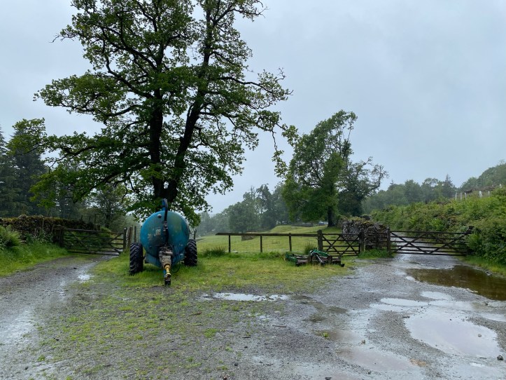
As we were settling our debate, the Tourist Information Center opened, so Tim and I went to get advice and confirm our proposed route out of town to make sure we were going the right way. Tim and I seem to have heard the directions slightly differently, so there were a few moments of debate about what “around the car park” meant, but we used GPS on my phone (now slightly wet from holding it in the gentle rain to get a fix on where we were) to set us straight, and promptly came to the turn to the left up a smaller lane, where we encountered the first sign that nature wanted us to throw in the towel- the road was flooded to an indeterminate depth (could be three inches, could be the road dips twenty yards on and the water gods to six inches deep…). But we were determined, and a quick look at maps showed that we could take the right-hand, not-flooded road and turn left in about two hundred yards and re-meet the intended path. Onward!
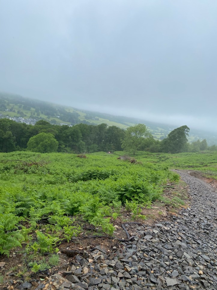
We walked on this minor road for a short bit and came to the end of our paved roads for a long stretch. You can see it on the map above, where the blue dotted line of our path hairpin-turns above the word Colthouse. This was the bridle path running up and up and up to get to the top of the ridge.


Because of the rain, for a good long way we were essentially walking in a stream running down the hill. Though my socks were still dry at this point, this is where I became certain that by the end of the day I’d be making squelching noises when I walked.
After a few hesitations about the path, we got to a very much unexpected ridge-top logging operation.

Here we turned south, staying for a little while on a road clearly used by heavy vehicles to get up to this lumber operation. (Karen hypothesized a terrific suspense novel plot in which we had stumbled upon a combined illegal logging/drug operation, and had to flee the narco-loggers. Look for it in paperback next year!). One quick jog up a tiny footpath/stream brought us to the ridgeline trail that would be our route for a long, long way.

The rain continued, but so did we. This is the sort of day during which you spend a lot of time affirming your courage and fortitude for walking, because if you weren’t praising yourself you’d be whacking yourself with a stick for being such a bonehead as to walk in this weather. It was great. The muddles and the slick rocks on the trail kept us alert, and we kept each other entertained.
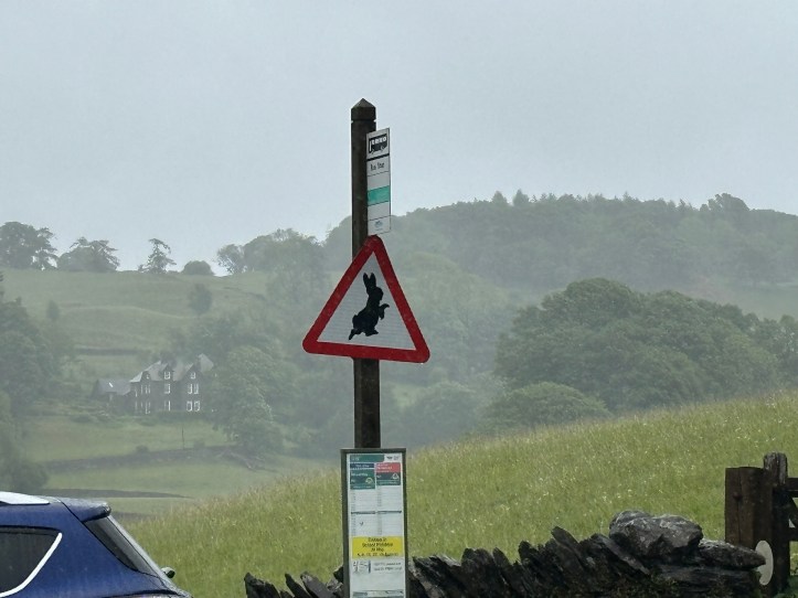
Eventually we came to a small town where we made a turn on an actual paved road, only to discover that we had come to Hill Top, the home of Beatrix Potter, now a tourist destination with a tea shop, gift shop and paid tour. We paused to consult our map, looked at each other as if to ask ‘do you want to do the tourism thing?’ and promptly forged ahead. Sorry, Beatrix.

From here the path alternated between following the narrow road down the hills or cutting across farm fields to get to the ferry. We were, let me say, psyched to have the end of a bog leg within reach, though walking downhill on pavement after miles of ups and downs in wet boots can be a bit trying.
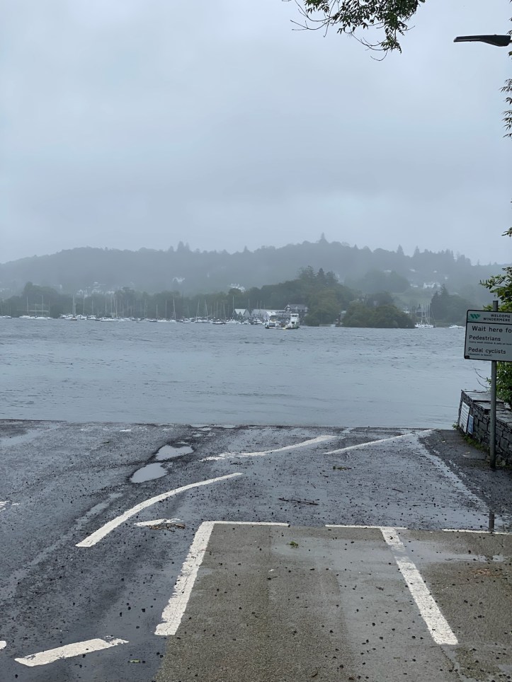
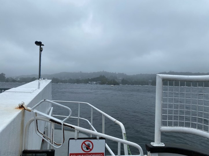
We got to the ferry, which carries maybe four cars and passengers across the lake using cables hanging in the water. We were nearly giddy to be getting across the lake, with just perhaps a mile and a half or two to get through Bowness and back to Windermere.

Once we were across, we hiked up into Bowness-on-Windermere, where I required a stop due to the first stupid blunder of the trip: somewhere in the last three days, I left behind the small packing cube that contained all but two of my pairs of hiking socks. If we had a car and time, or even just time for bus rides and a lot of determination, I’d call our hotels at Dungeon Ghyll and Ambleside and ask after a little blue mesh bag full of socks, but with neither the time nor the energy for all that (imagine taking a bus from Windermere to Dungeon Ghyll, two days of walking and a humbling 90 minutes or so on the bus, only to retrieve socks), I had researched outdoor shops in Bowness-on-Windermere and determined I could get what I needed. So, we popped into two crowded outdoor supply stores (with the now mildly rainy day, a lot of tourists who had come for the “Beatrix Potter World” experience were now lingering in any and every shop to stay out of the wet), and I got what I needed, six pairs of ankle-high socks that will last me through the next few weeks.
Another 1.3 miles, mostly uphill as a final bit of cruelty thrown at us, and we were back in Windermere. And so the fellowship of the Lake District walkers breaks up. Tracy and Tim Hawkins are off to Ireland for more walking on the Dingle Peninsula (gorgeous, I did it years and years ago) and Karen and Tim Slevin are off to Cambridge for a few days. And as for me? I’ve got a travel day to get to my next short hike, a little two-day intermezzo on the Yorkshire Dales Way before my ten days on Lady Anne’s Way.

The narco logger plot drives the entertaining Jason Momoa vehicle Braven…