I’ve reached the stage in my ramble at which the days start to blur together, even while they are happening. Halfway through today’s hike, I was struggling to remember whether a particular bit of trail had been this morning or yesterday. My brain can only take in so much new walking sensory data before it starts to become a big smoothie of ferns and hills and views and valleys and sheep and forest tracks, all blended together.
But today had an unusual and memorable quality. Because of lodging logistics, we were picked up at the end of yesterday and driven around five miles ahead through the valley to Betws y Coed (ever after in our minds “Betsy the Co-Ed,” sister of the Drowsy Co-ed–Drws y Coed– of a few days ago). It’s a thriving little tourist town mostly laid out along one long main street climbing gently up the valley as the river rises. It’s popular for people who want to do day hikes and with artists who paint these hills.
But of course, you don’t just skip ahead by taxi, so this morning we were driven back five miles to where we stopped hiking. But again, our endpoint 11 miles ahead in Capel Curig, past Betws y Coed, has no lodging, so when we finish hiking we will be in a taxi taking us back to Betws y Coed. Then another taxi tomorrow to take us forward to Capel Curig. So, a lot if taxi time concentrated into a few days on this hike.
But our morning taxi driver was the same man who’d taken us ahead in the rain storm and brought us into Betws y Coed last night, so he knew us well enough that we got him reminiscing about winters past in northern Wales. Tim noted that there must have been great sledding with all these hills, and that got our driver smiling and recalling how this was a very poor area when he was a boy, so they would find abandoned cars and take off the bonnet (the hood for all you American readers) and use a car bonnet as a sled. Not much control of your direction in a car-bonnet sled, Tim noted. “Oh yes, some kids ended up in hospital, but we enjoyed it.” Except the kids who ended up in hospital, I opined. “No, we all enjoyed it,” he replied with a bit grin that set me imagining a ten-year-old with an arm in a cast and a big smile on his face fifty years ago.
He dropped us off exactly where he’d picked us up last night, and we set out to walk back to Betws y Coed (I seem to like typing that) and beyond. The website for the Slate Trail says that in comparison to yesterday, this 5.2-mile section is “a doddle,” and after one teasing bit of scrambling up a hillside through a small taunting of ferns (the collective noun for ferns shall from now on be a taunting), we were back on a forest track clearly used for lumber hauling.
We eased down the side of the hill over several miles, returning to paved roads and a small bridge from which we could view just a dozen yards or so away the “Roman Bridge,” so called even though it isn’t of Roman origin.


And then we had one of the longer patches of real road walking on a busy patch where there was no sidewalk so we were shouting out “Car!” whenever we could hear one coming from either direction. Tracy really hates walking on roads with cars, so we practically dashed through this perhaps quarter mile to get back to a path through the woods alongside the road. Then the path eased away from the road and just followed its heart through the valley, bringing us startlingly quickly back into Betws y Coed (just under two and a half hours) where we literally walked by our B&B. So we stopped for a more pleasant bathroom break than is usually possible, then set out for the more demanding but not exactly awful second half of our walk for the day. (for perspective, the rather confusing website lists 500 feet of ascent for the first half and 1350 feet of ascent for the second half of our day, but it isn’t clear what they’ve done with the descents- does this number capture overall elevation variation, because the downs should count in the calculation as much as the ups).
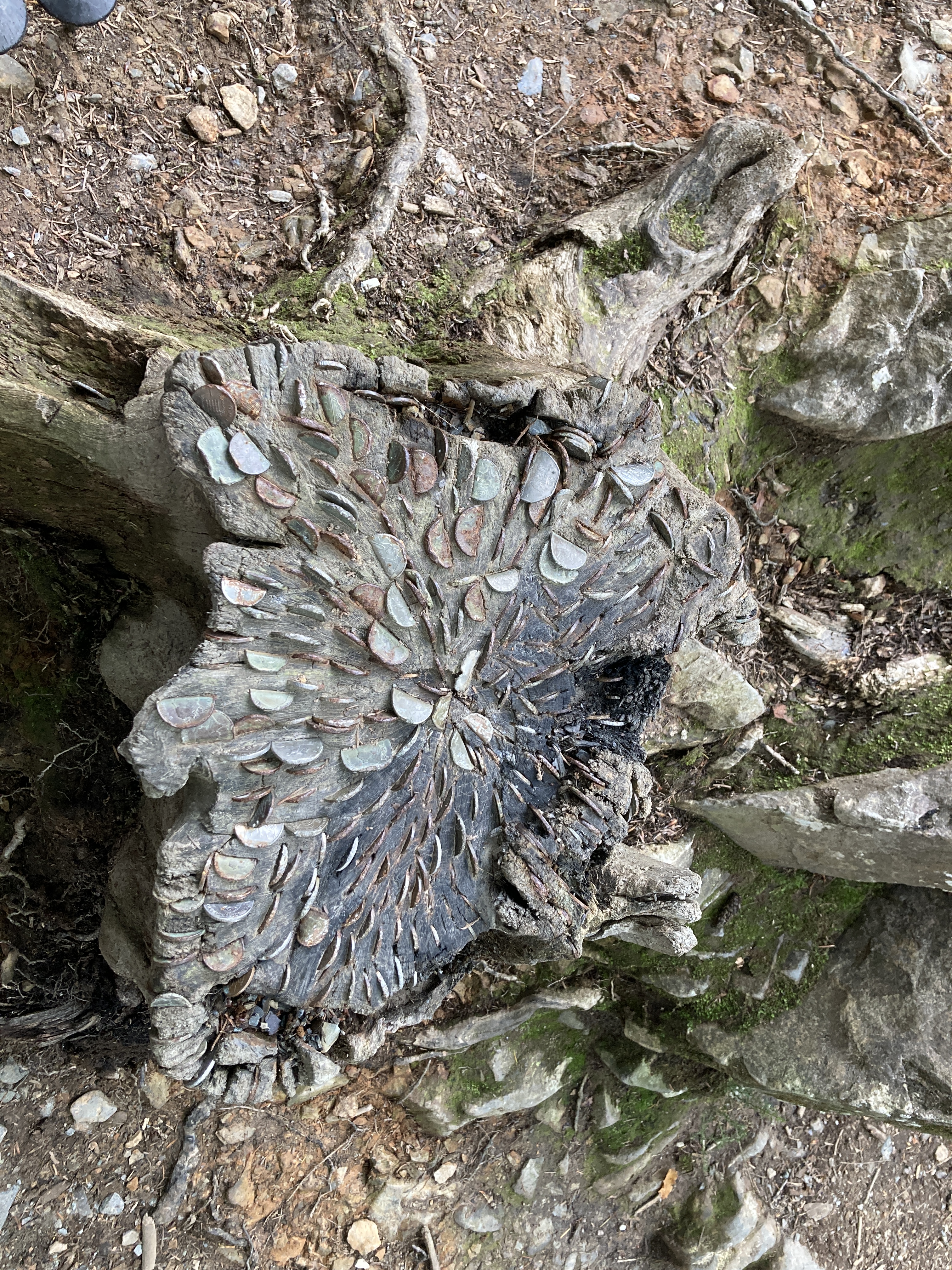
The path took us right up the High Street of Betws y Coed before setting off on a foresty rvierside path popular with a lot of casual walkers. The path heads up with the promise of Swallow Falls, but long before we got to the falls on steadily more demanding incline up through the forest, most of the day walkers were gone. There was one brutal incline up the hillside just at the miner’s bridge, which is actually just two staircases down to a big boulder that lies across the top of the river. At the bridge, there was stump where peopole observe that odd custom of jamming in a coin for luck.
We go to a viewing point at the falls with a little platform, where a family was just finishing their stop (or they saw us and graciously gave up their spot), and stopped for a short lunch break with the roar of the falls as our soundtrack.
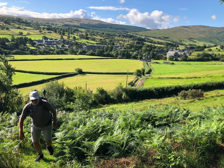
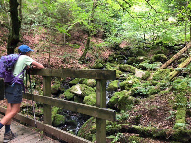
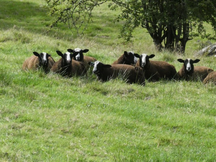
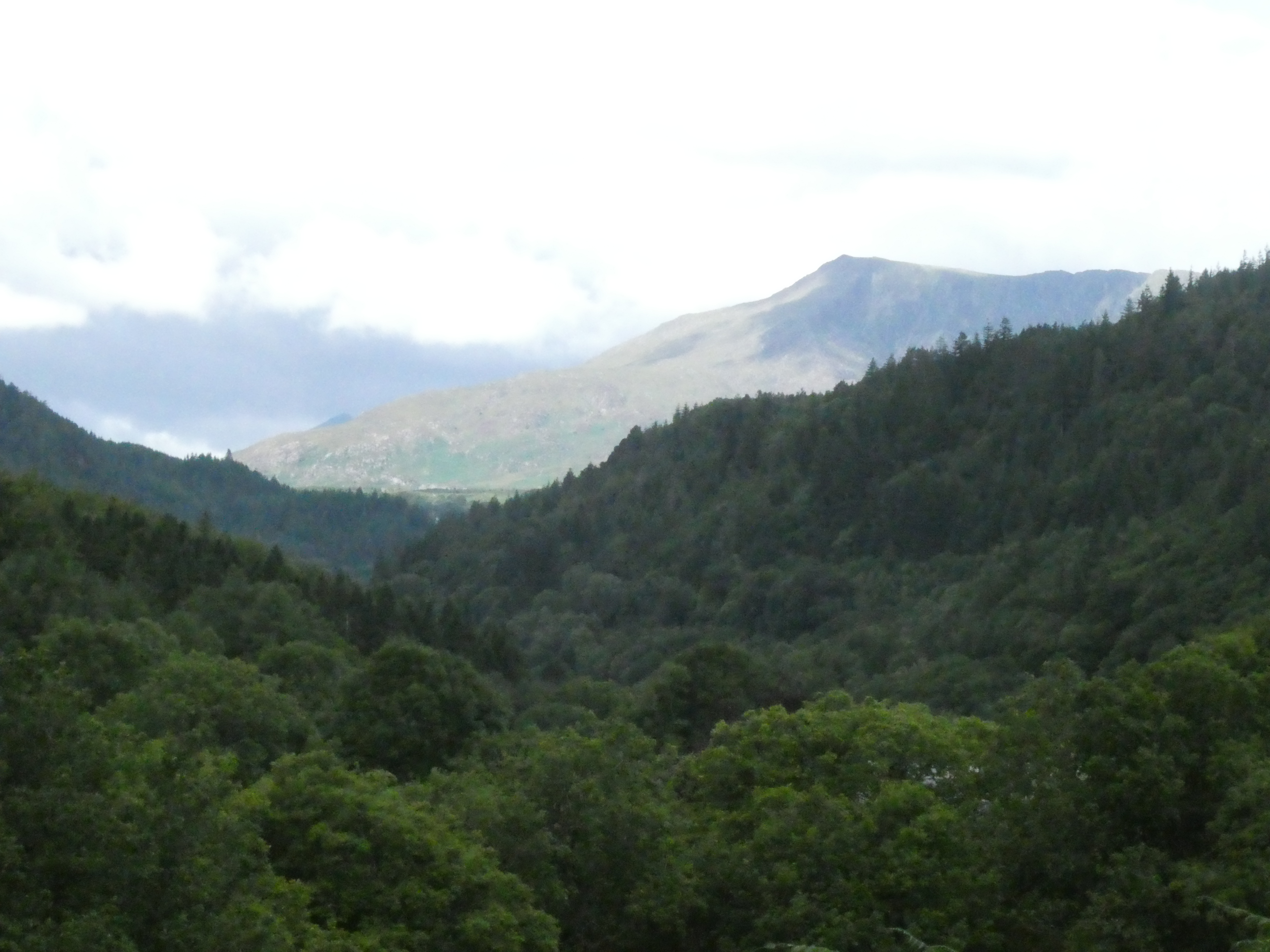
This whole day was full of idyllic scenery, with valley views and streams and sheep and forest tracks.


A rather long incline up a forestry road and then on a tighter footpath told us we were rising to the head of this valley, and once we got there, there were stunning views that a camera does not do justice to.
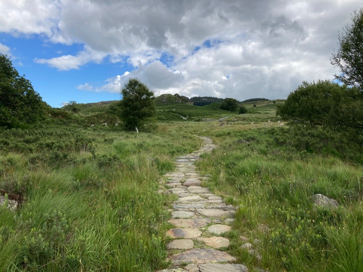
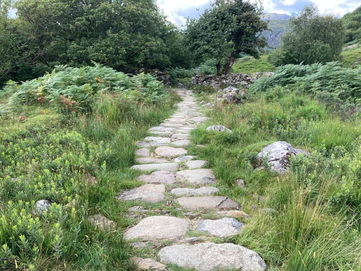
The last mile or so was over an open, boggy bit, but shockingly, this section is not a slog through the bog. A trail of rocks, really almost a pavement, has been painstakingly laid out across three or four hundred yards going gently down toward Capel Curig, our stopping point.
Capel Curig is a very small town and really would be just a crossroads at a church (Capel=chapel) except for all the walkers in the area, whose presence has made the way for an outdoors store, a few inns, and a cafe specifically catering to walkers.
Though our pickup spot was one of the inns, we had time to kill, so we went to the hikers’ cafe and got cold beverages (soda for two, beer for one) and sat in the sun.
There had been a bit of a problem with scheduling the taxi, and when the 4pm pickup time had become 4:20, I tried to call them but couldn’t get through (I later learned or I suppose relearned that three short beeps and a disconnect of your call can mean the other party’s cell phone is not in a service area, or there is some other problem, or the number is permanently disconnected), so I called Contours and they did some scrambling, I imagine, and called back saying a taxi would be there at 5pm. More lounging in the grass by the inn. Not a bad way to wait for a cab.
But as I noted at the start of this post, this whole day is a blur I have reconstructed through real effort and a review of the photos. I couldn’t tell you what we talked about along the trail, except for the usual “You lead for a while” and “Look over there” and “There really should be a trail marker at this junction, because I am confused.” I have reached mental saturation. Good thing we have just one more day, and an easy one with eleven miles and not much elevation change, though I bet there will be some sneaky steep inclines through ferns, just for old times’ sake.

Great read and lovely pics!