The Wye Valley Walk ends on an amazing note. The last leg goes from Llangurig (clear your throat on the initial double L, make a vague guess about what syllable gets the stress) to Rhyd-Y-Benwch (more throat-clearing on the intial r, Y equals ee, W is a vowel when it is between two consonants, and is sounded by softening your voice to a level barely perceptible to the listener and hoping that they’ll recognize the place name from context cues; just hit the consonants about which you are somewhat confident. I’ve been praised on my Welsh pronunciation, primarily because I throw around a lot of glottal noise on R, L, CH and pretty much any consonant you can turn into throat-clearing).
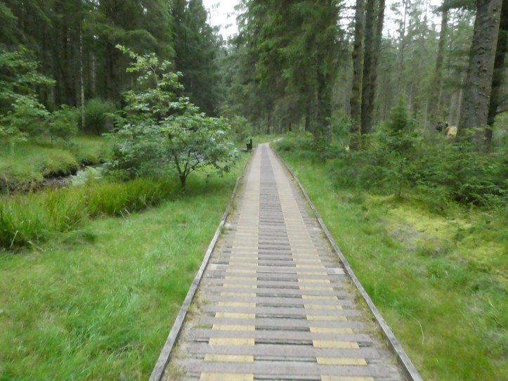
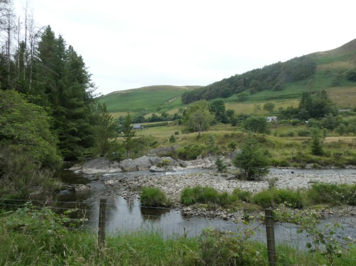
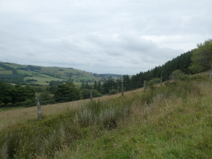
Anyway, the trail has been laid out so that you rise to a challenging but dramatic 400 meter elevation in less than a mile, navigate some narrow-valley up and down the hillside bits for about six miles, then rise gradually up a metaled road (see comments Day 11 for an explanation of why stony gravel roads are called metal) through wide-open barren high country, past an area that has the supposed ‘source’ of the Wye, and finally across and down into the Hafren Forest on logging roads and beautiful wooded paths, finishing at a parking lot where you also meet the head of the Severn River Trail (lots of rivers seem to start up around here).
Which would be awesome if I had been hiking along the route as described in the guidebook. But as noted yesterday, for logistical reasons to do with lack of cell reception at the trail head, I did the last leg in reverse, getting a taxi to the forest and then hiking down. So I got the glorious forest walk, the long open views of raw uplands, and then spent the last three or four miles of this adventure bitching and moaning as I hobbled up the sides of hills on mucky trails. Still, when I came over the crest of that 44 meter high point and saw the church steeple of Llangurig way off in the distance, it was exhilarating.
It all started with a bit of logistical challenge. I was supposed to call the taxi service yesterday afternoon to arrange a pickup time for this morning, but when I called (close to 5pm) I got no answer and there was no voicemail. This is the same company that messed up my luggage transfer a few days ago, so I was a bit worried. I called the mobile number that was also provided and left a message asking for an 8:30am pickup. But I also let my host know that the morning might be confusing.
So this morning, as I ate breakfast, I tried and the host tried while I ate, and he finally got someone on the phone. And my host and even another guest at the B&B were incredibly gracious and said that if they couldn’t get the taxi people, someone would drive me to this dropping point.
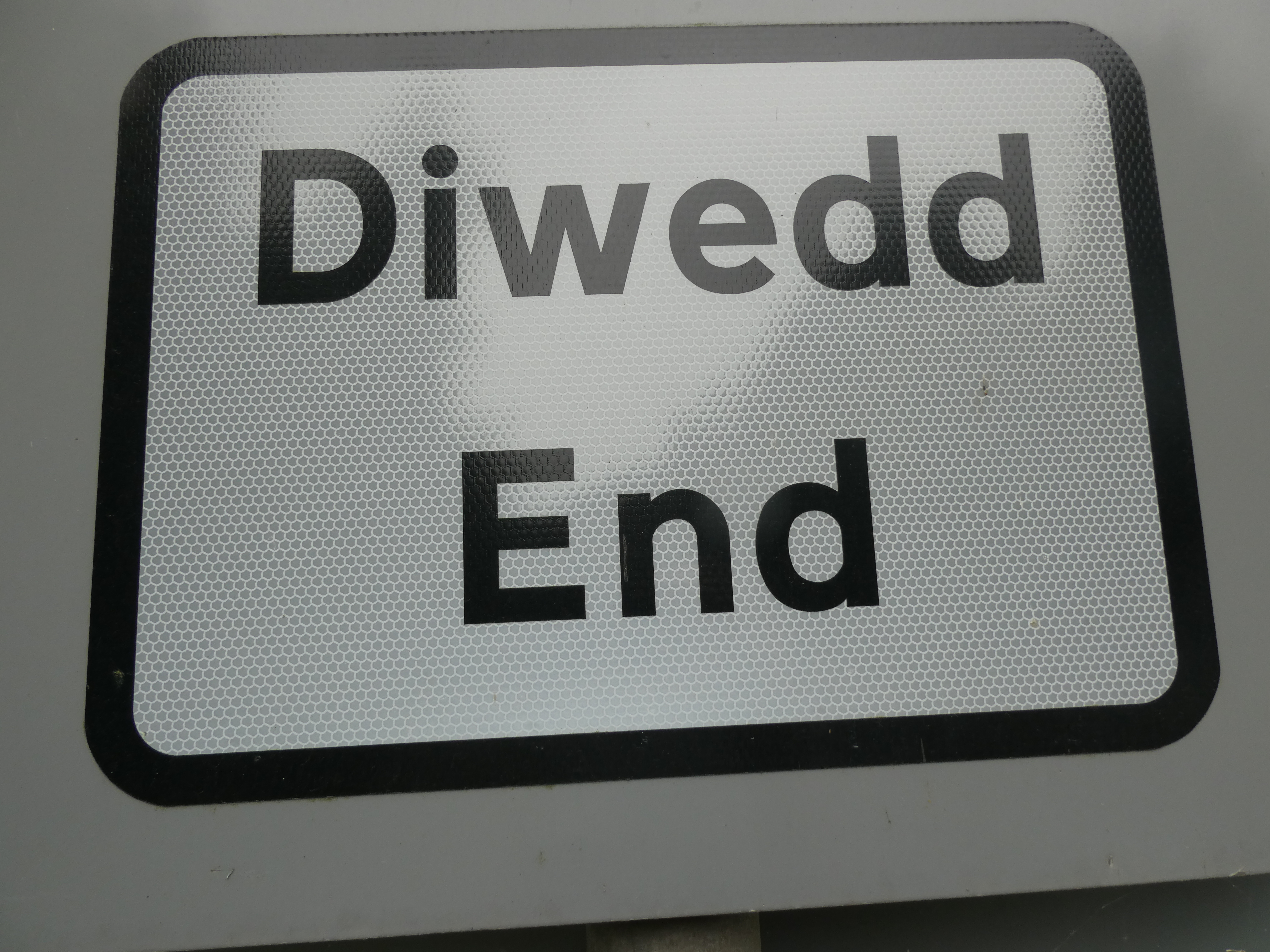
This company does taxis and luggage hauling and does runs for schoolkids too remote for buses and generally does a lot in mid-Wales, but they keep the hours they want. Hey ho. A taxi eventually arrived at around 9:15, and took me a long way around the hills (it felt a long way, but remember I’ve been moving at two miles an hour for eleven days) to get to the Hafren Forest. There was some comedy in this, because the guidebook emphatically does not refer to the end of the trail as the Hafren Forest Preserve, even though that is where you are. It says Rhyd-Y-Benwch– it’s in the name of the last chapter, it’s all over the text. But whenever anyone (my host, the kind other guest, the taxi driver) asked where I was going, I would try my bluffing pronunciation, and mostly what I’d get was “do you mean the Hafren Forest? Um, I think so?
Interesting sidenote- the other guest is a woman who works for a very large women’s motorcycling association. They’re having a big rally somewhere nearby this weekend, and 700 people are showing up to ride or learn to ride. She’s part of the advance team. Cool.
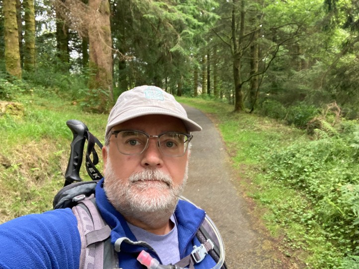
Anyway, I finally got dropped at the endpoint and started my walk at 10am.Later than I’d like, but what are you going to do? So, some slideshows to give you the feel of my day.

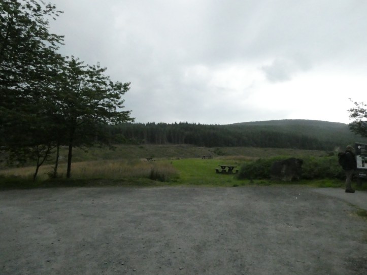

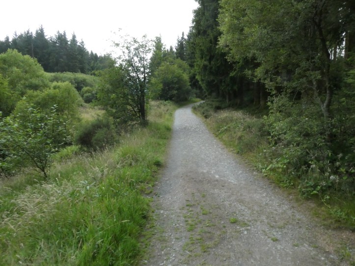


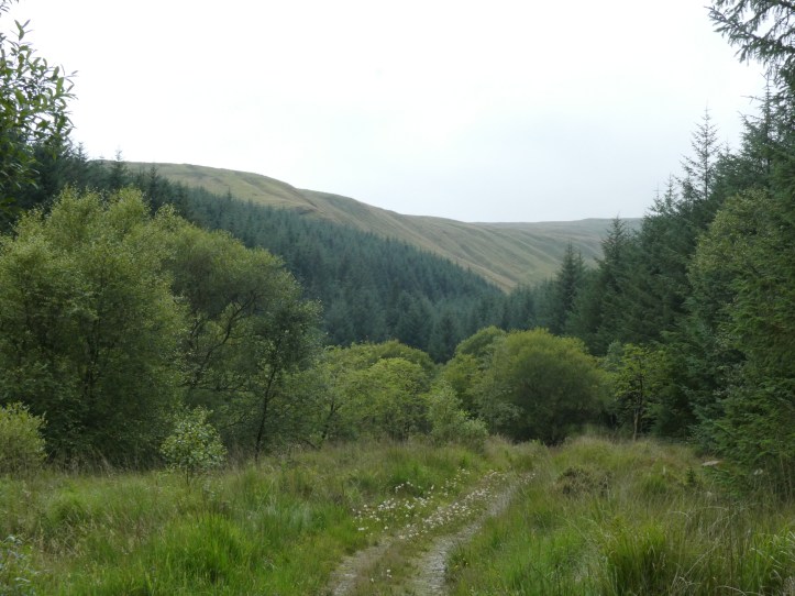
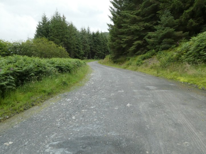
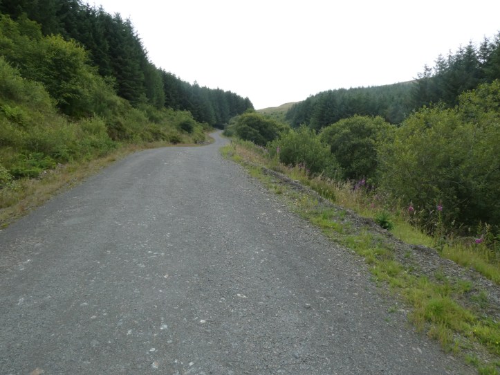

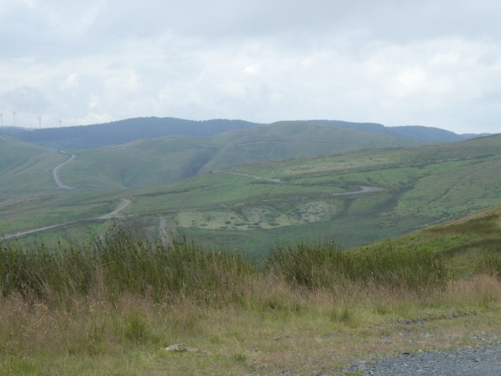
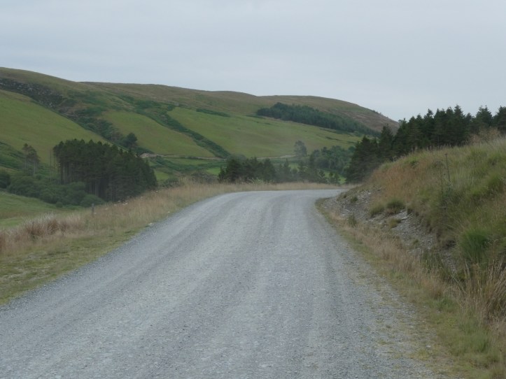
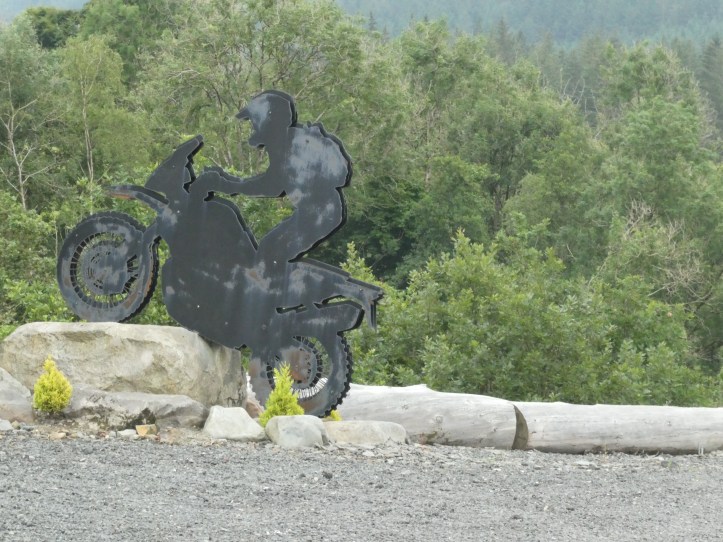
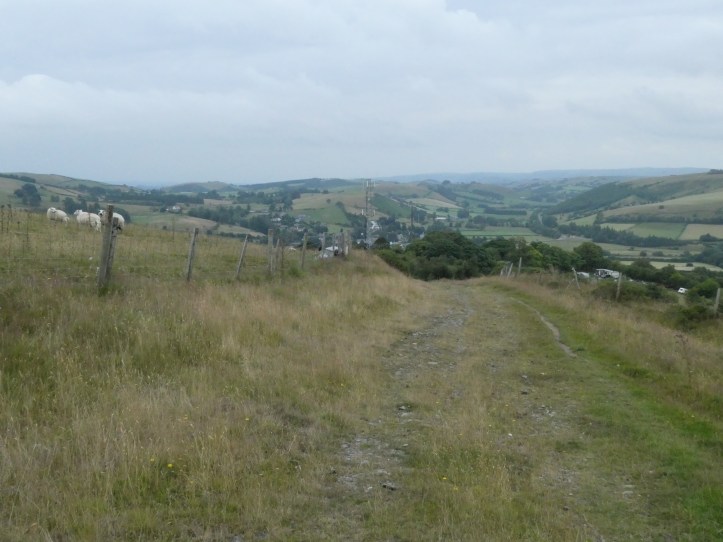
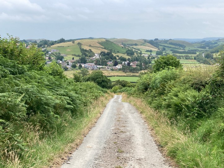
That’s the first three or so miles. Forest trail rising to logging road. Then you hit the wide open spaces at a high level, and gradually descended on a hard surface rock and gravel road. This is pretty easy walking, except that it isn’t truly paved and smooth, so you are making little micro-adjustments with every step for stray stones and uneven surface. As you descend, you get to an area that is clearly beloved of rugged country motorcyclists and other off-road enthusiasts.
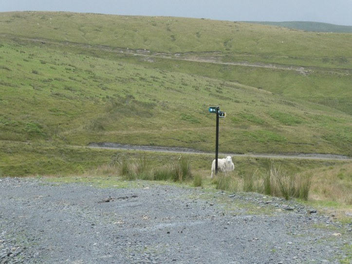


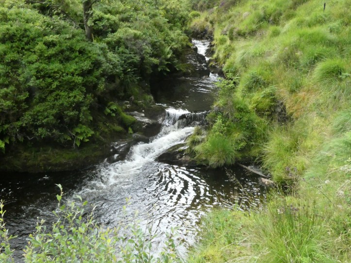
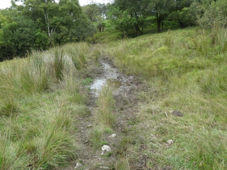
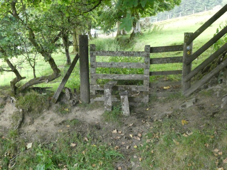
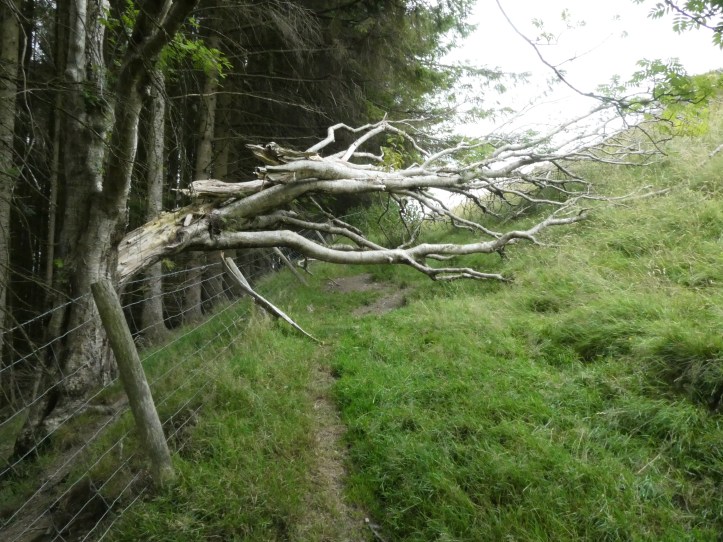
Let me be honest and say that when I got to that sign indicating six and half miles, I was disappointed; I thought I’d gone more like eight miles, and was congratulating myself on my incredible pace. Oh well, I am sure these last six and a half miles will be a nice walk along the riverside…. I should have read the guidebook before this day, but I figured ‘What’s the point? I’m walking it backwards so it won’t make sense.’ So I did not know until I did a pause for some serious map reading that I was headed for a lot more rapid steep up and down.And though it has been a dry summer, this part of Wales seems to be leaking, because the path got into a number of truly muddy bits that there was no practical way around.

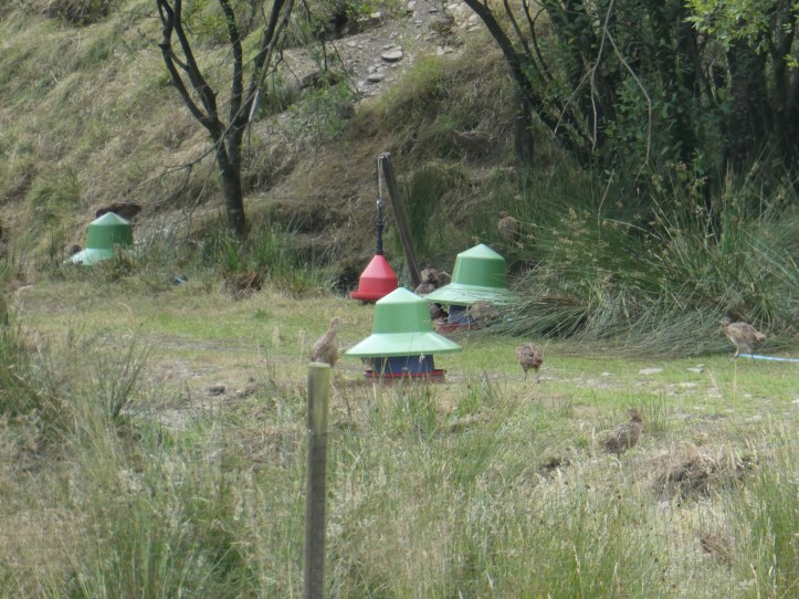
On one of the bits where I was lower down in the valley, I walked through a farm, where this crew of cattle seemed to be waiting for a Gary Larson caption.

It was strangely menacing, until I got a bit closer and they all bolted off to the right, out of my way.
And the trail came to its final (from the reverse approach) harrowing climb up to 400 meters, done in a few very steep legs. And then, after walking along the high trail for maybe half a mile, it began to descend, and as it angled around a bit of hillside, Llangurig came into view, and I said, as you might well imagine, “Crap, I have to go down nearly 400 meters. This is going to be rough on the feet.” (Did you think I said something profound about achieving my goal, the pleasure of a task completed, or the zen of trails and the meaning of this trip?)
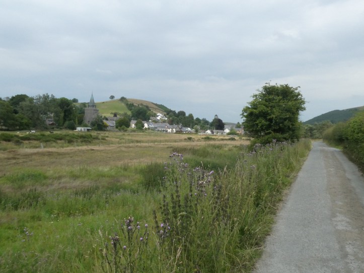
I got to Llangurig, where, by some miracle, the village shop was open. I bought a celebratory Diet Coke and a candy bar and hobbled the last few hundred yards to my B&B for a shower and a good lie-down.
Dinner was a return trip to the Blue Bell Inn, one of two pubs in town. For some reason, my host only refers to the other pub in reference to its location near the bus stop where I will have to go to make my way from here to Bangor up north, so I assume the Black Lion is a bad pub? Anyway, the Blue Bell Inn is like a Welsh Cheers. Two nights in a row I saw a cluster of muddy local working men drinking and joking and generally enjoying themselves.
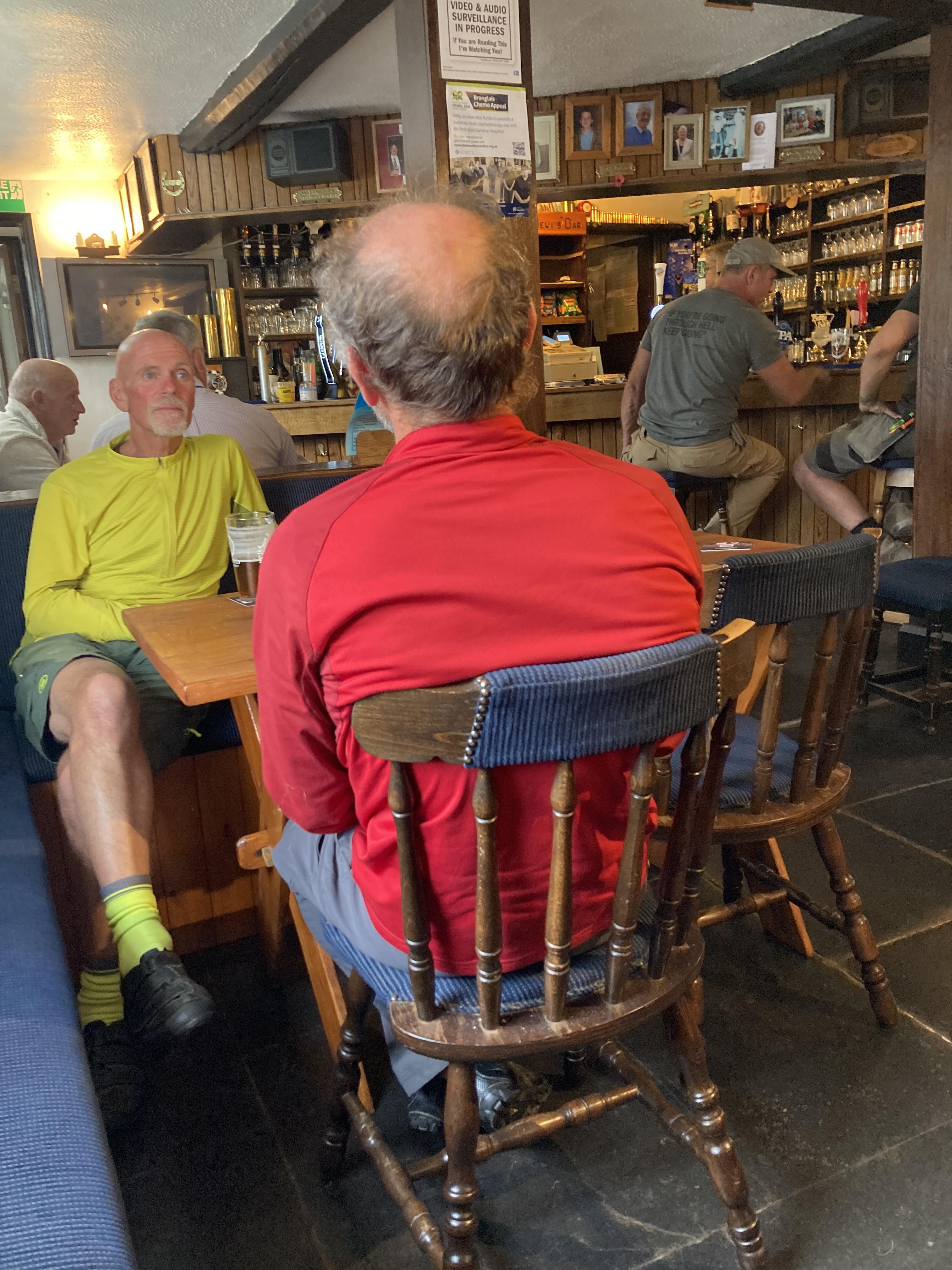
The two gents in front are, obviously, cyclists touring the area, but behind them you can see the regulars. I kept expecting someone to enter to cries of “Norm!” This bar has no music playing, and though there is a big screen, it wasn’t on either night. I assume it gets witched on for important sporting events?
And for the second night in a row, this rather horsey set of people came in.

Among them was a woman of a type I very clearly recognize– she had an American accent, but from things she said, it was clear she is an ex-pat living somewhere bigger than this town (maybe Cardiff?) and, with this mostly British-not-Welsh-sounding crew, is here for a riding vacation. She was using British phrasing to show that she is blending in. “What are we doing for drinks? A G&T would be grand.” It cracked me up.
A sadder but wiser consumer after my first night’s order of scampi (deep-fried breading with shrimp bits thrown in), and without the standby burger on the menu, I went for the Spring Green Risotto, which was actually pretty good, and got some vegetables into my diet. Then I hobbled back to the B&B (did I mention I walked 16.5 miles the other day, and then 12 miles, and then 12.5 miles today?), and called it a night.
Tomorrow is a travel day, and then I begin the Snowdonia Slate Trail. I am exhilarated, exhausted and generally happy as can be.