At this point, you could be forgiven for thinking I am actually kind of an idiot. The refrain “and then I got lost” should not inspire confidence in a long-distance walker. But, as some of you have kindly pointed out, I do find my way again. Today was long and lovely and included a glorious section of riverside walking and some dramatic hills. It also involved the case of the degrading and disappearing trail signs and the mysterious incident of the lost luggage. And I not only made it through, I conquered. This is the new me, egotistical and not afraid to tell you that I am the lord of all I survey. Or at least to say I’m pretty good at getting through screw-ups and making it all turn out okay.
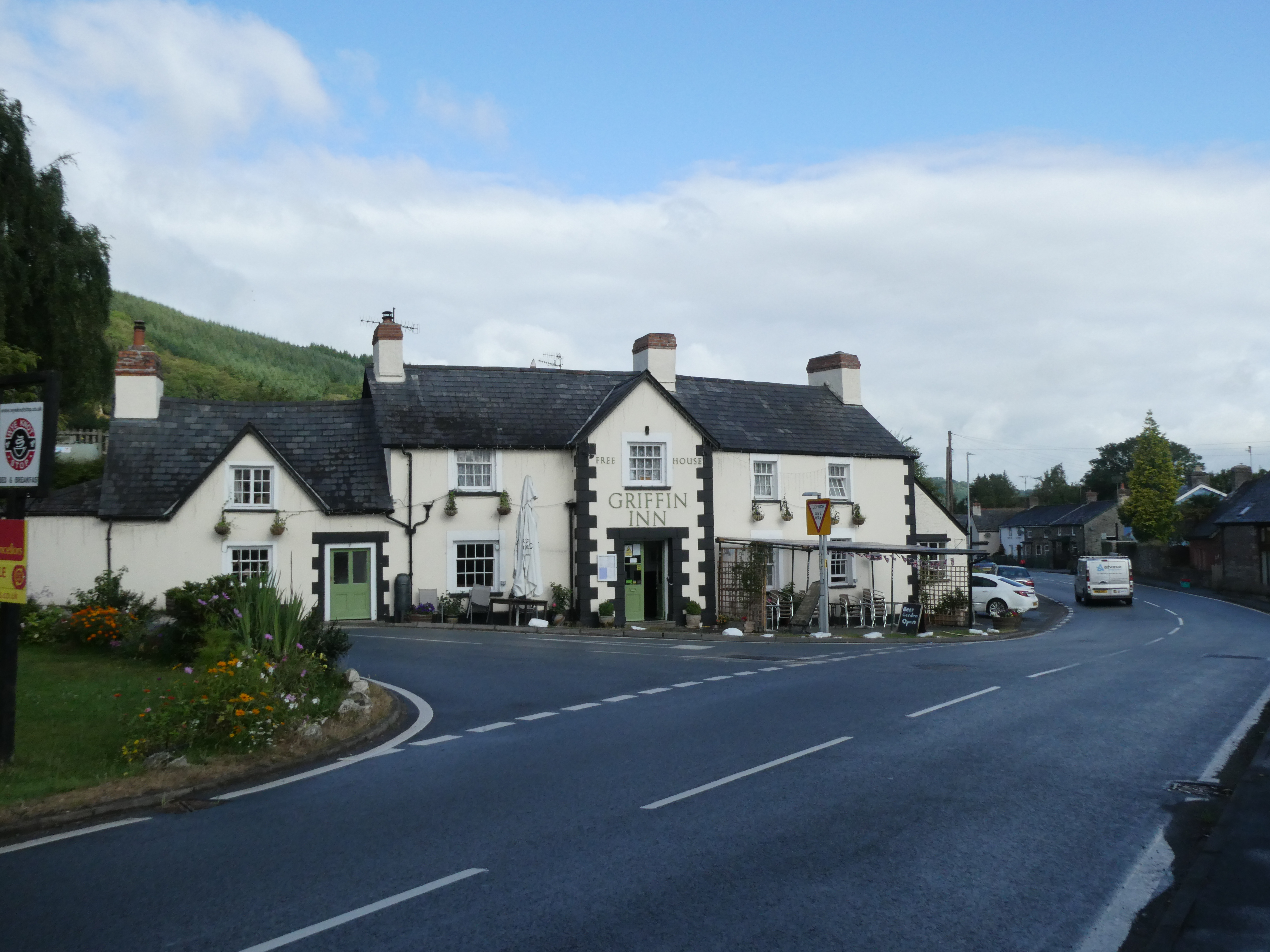
The day started with half a mile of road walking from the Griffin Inn back to the trail, which wasn’t too bad. I knew it was going to be a longer day, 13 miles, but I also knew that the first half was mostly flat. Good to go!
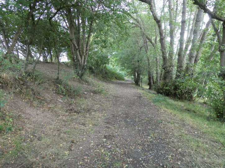
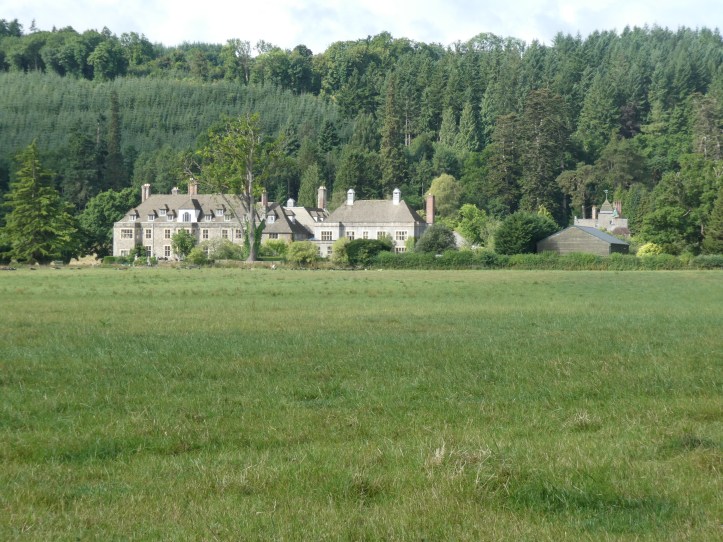
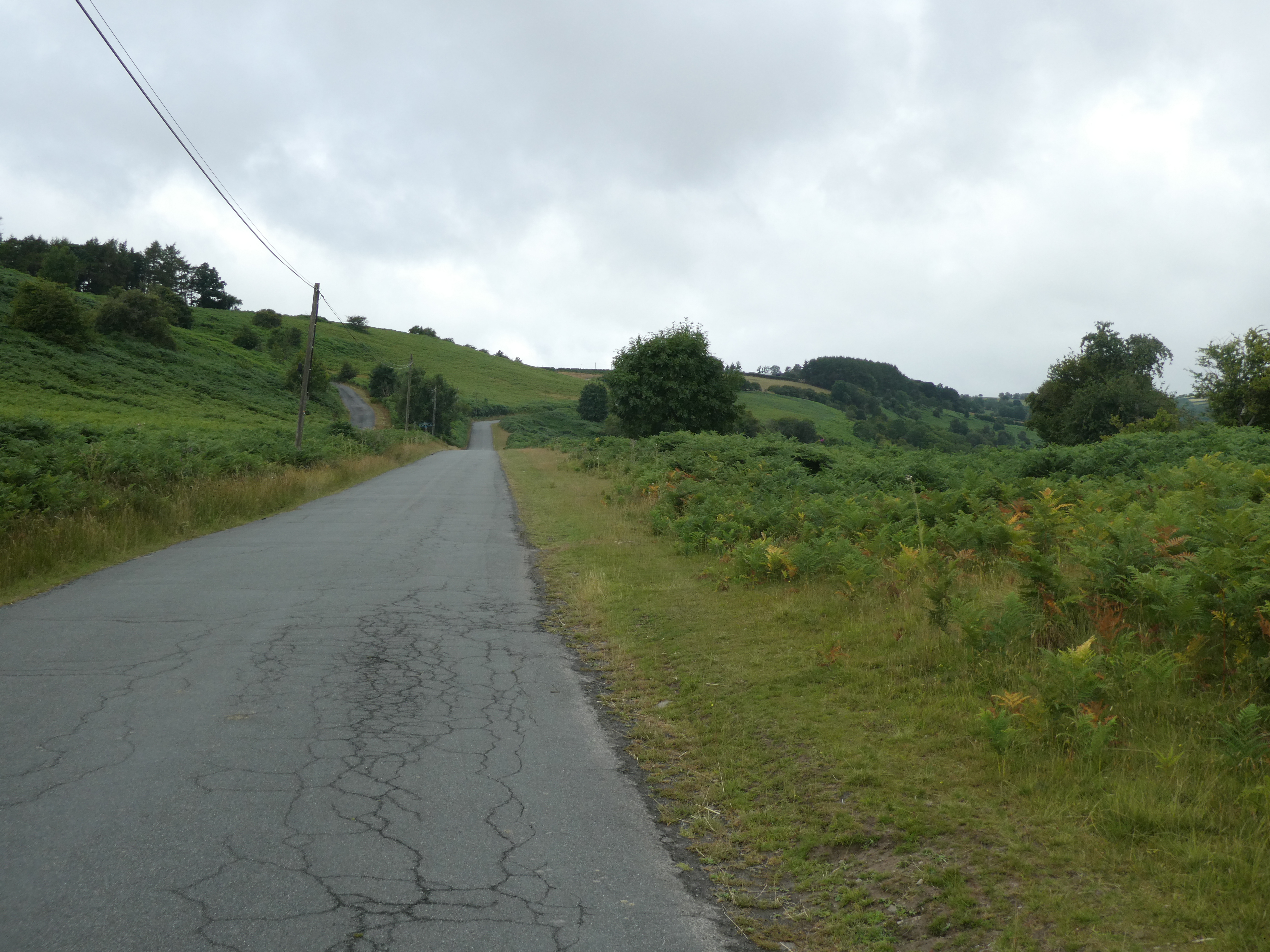
Then the trail dipped down along a paved little road not open to general traffic, which eventually tapered off to a dirt path with some gravel, and then field walking. Stunning views up the valley, passing by a memorable estate house that made me think how many servants it must have taken to keep it running.
While walking this bit, I came across a puzzle on what seemed to be that estate’s land. A circle of big plastic buckets with holes poked in the bottoms and a rope stringing them together. What the heck is that?
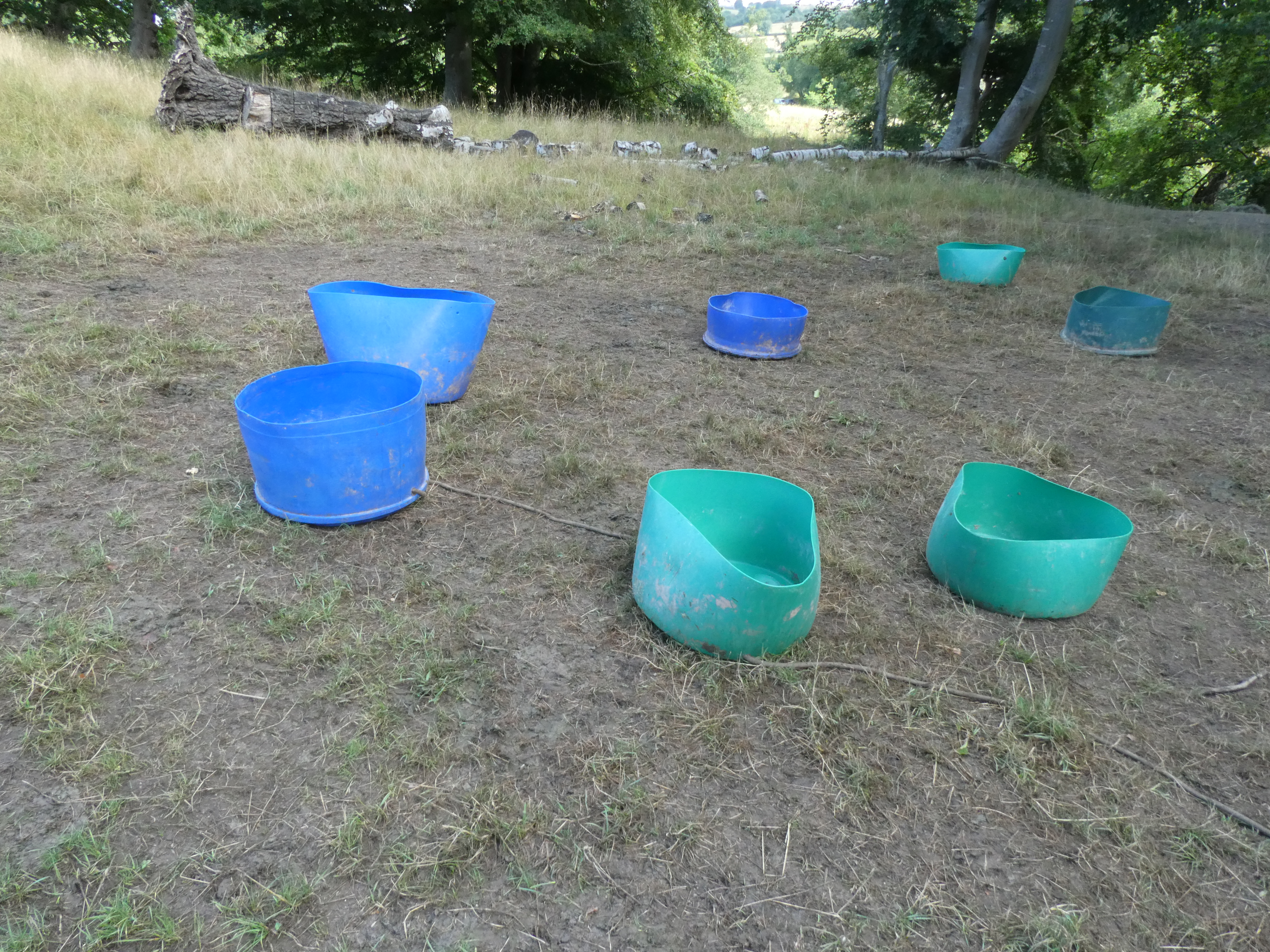
I tried to imagine a practical use (something involving cows and feed and keeping them in a neat group? Weighted down they would, um… help me out here?).
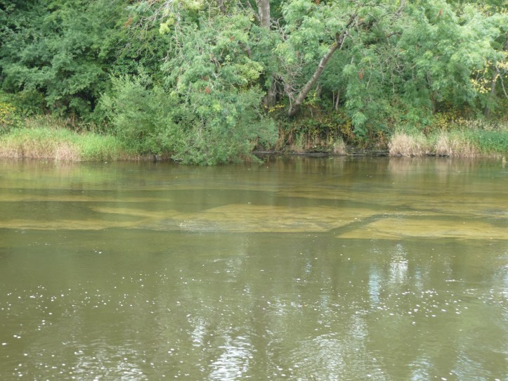
I also got a video to let you hear what it’s like to walk a section with some rocks in the river (not quite ‘rapids’ but a rough patch).
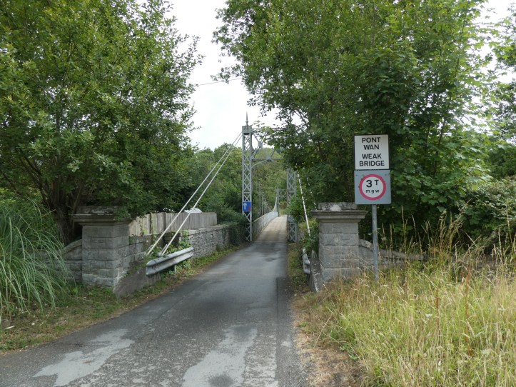
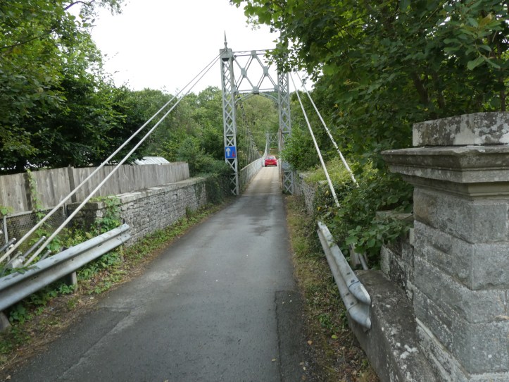
Eventually, the path crossed the Wye on a very tiny bridge with a somewhat alarming sign. Who wants to drive on a weak bridge?
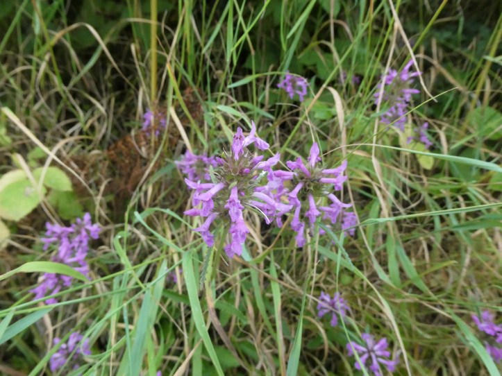
Making good time, I did remember to stop and photograph flowers of which I do not know the name, because that’s one of my signature moves.

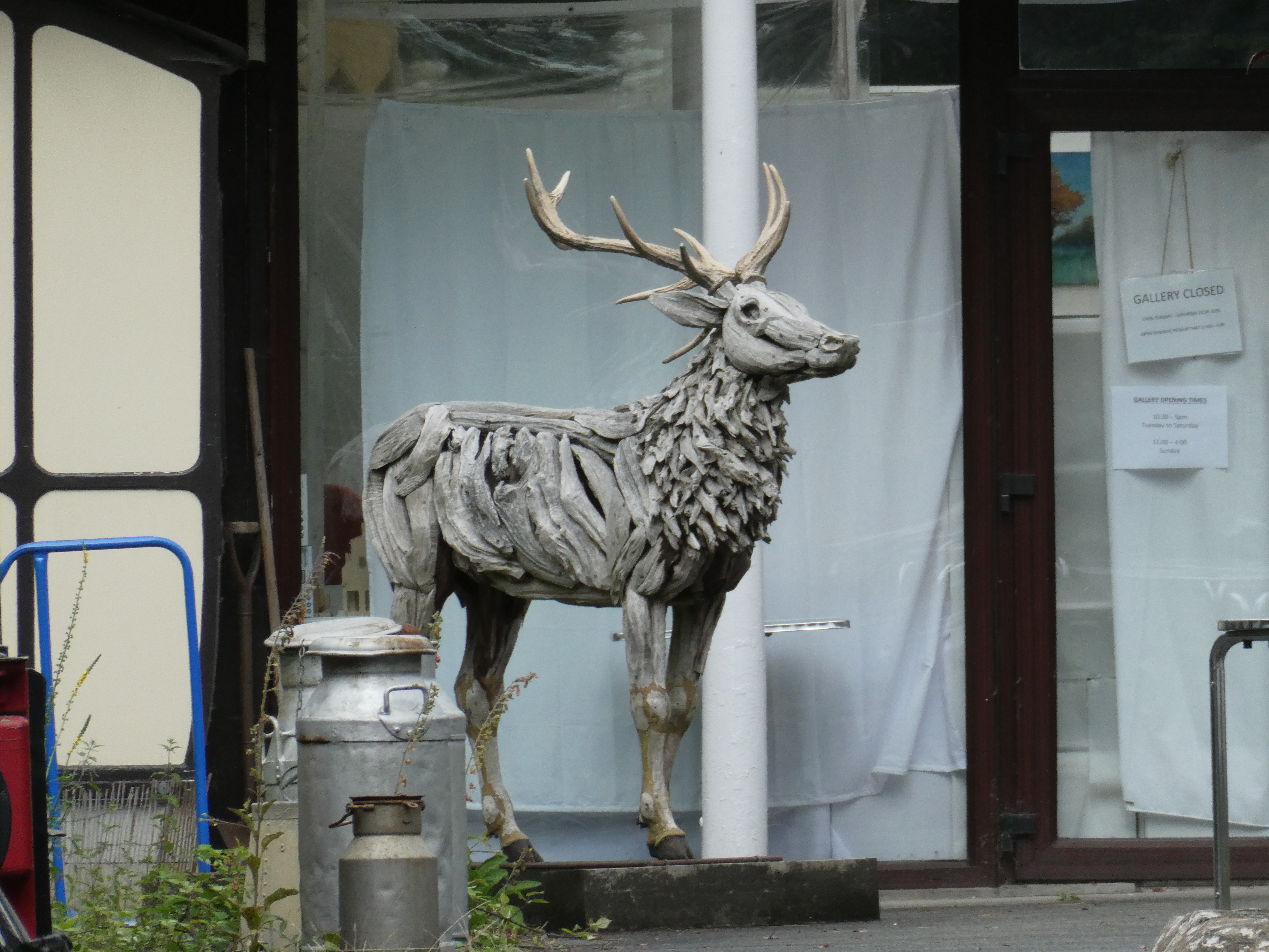
I passed by an arts center and gallery, which didn’t seem to be open yet, but had in interesting sculpture out front.
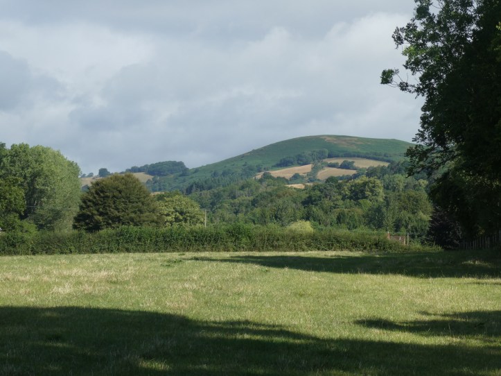
This day was rocking! I’d done something like eight miles in three hours, and my spirits were high.
Then I hit the ‘rise into the hills’ part of the day, and the signs started to degenerate a bit.
Some uphill walking followed, and we will not that now my understatement matches that of the guide writers. I went up a long long long section of paved road climbing a hillside, the sort of road where you think you’re approaching the crest and then you get there and the road turns a bit and keeps climbing to another spot that looks like the crest. Rinse and repeat.
But this is what I signed up for. I’ve done enough walks to know that trails and hills have a magnetic attraction.
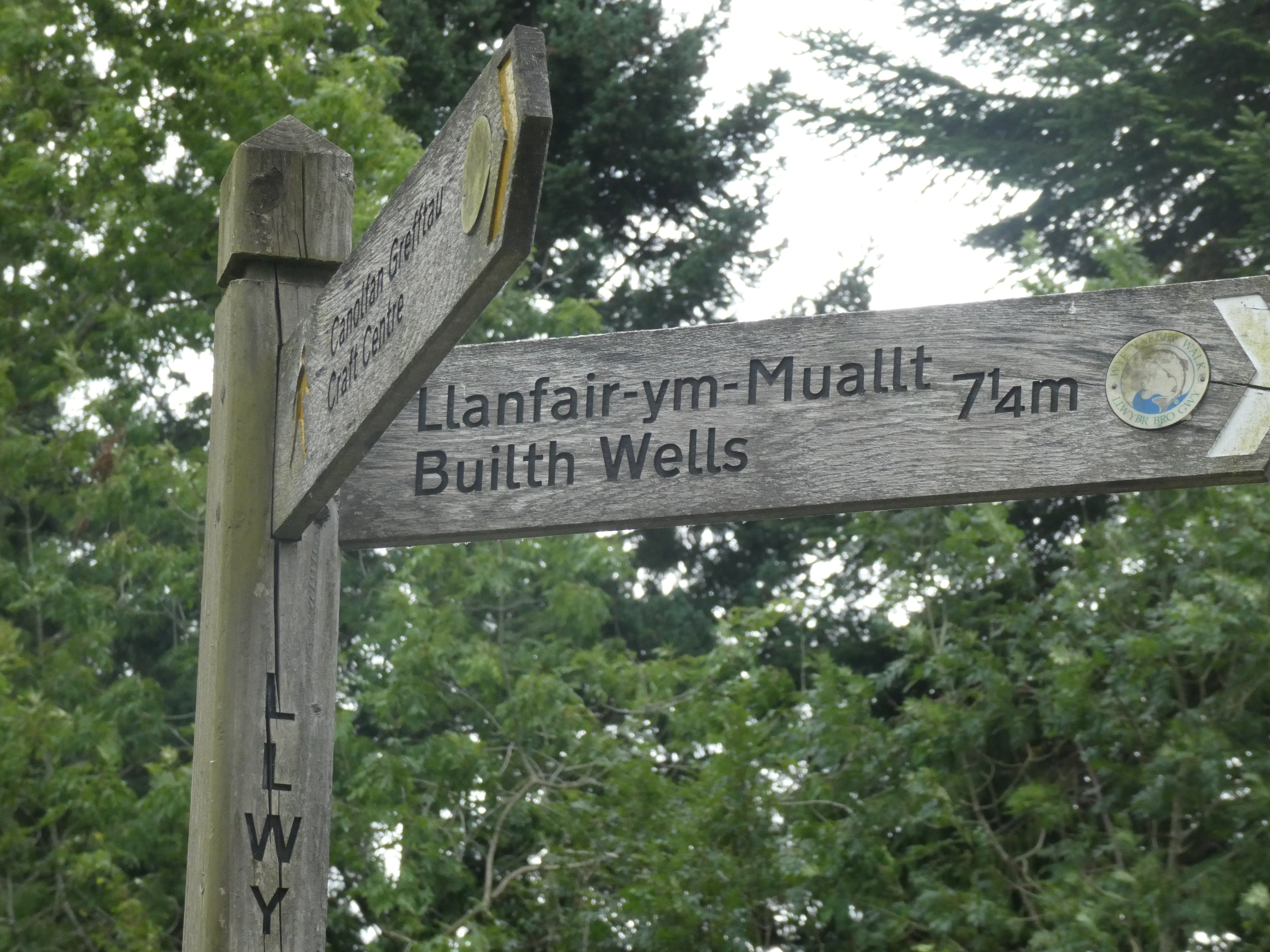
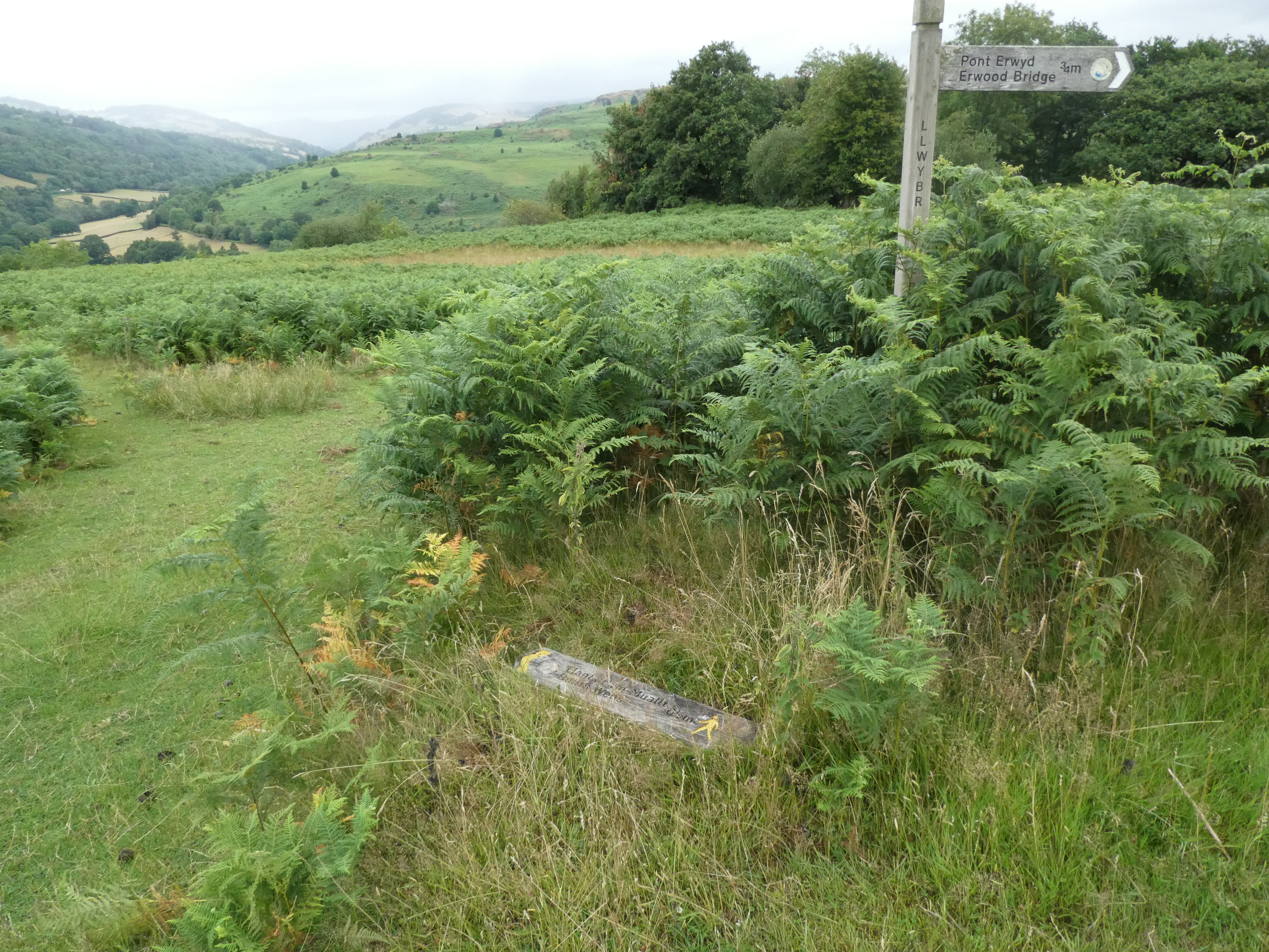
The path turned off the road at this sign, which should have gotten me thinking about the signage ahead. Yes, that’s half the sign lying in the grass.
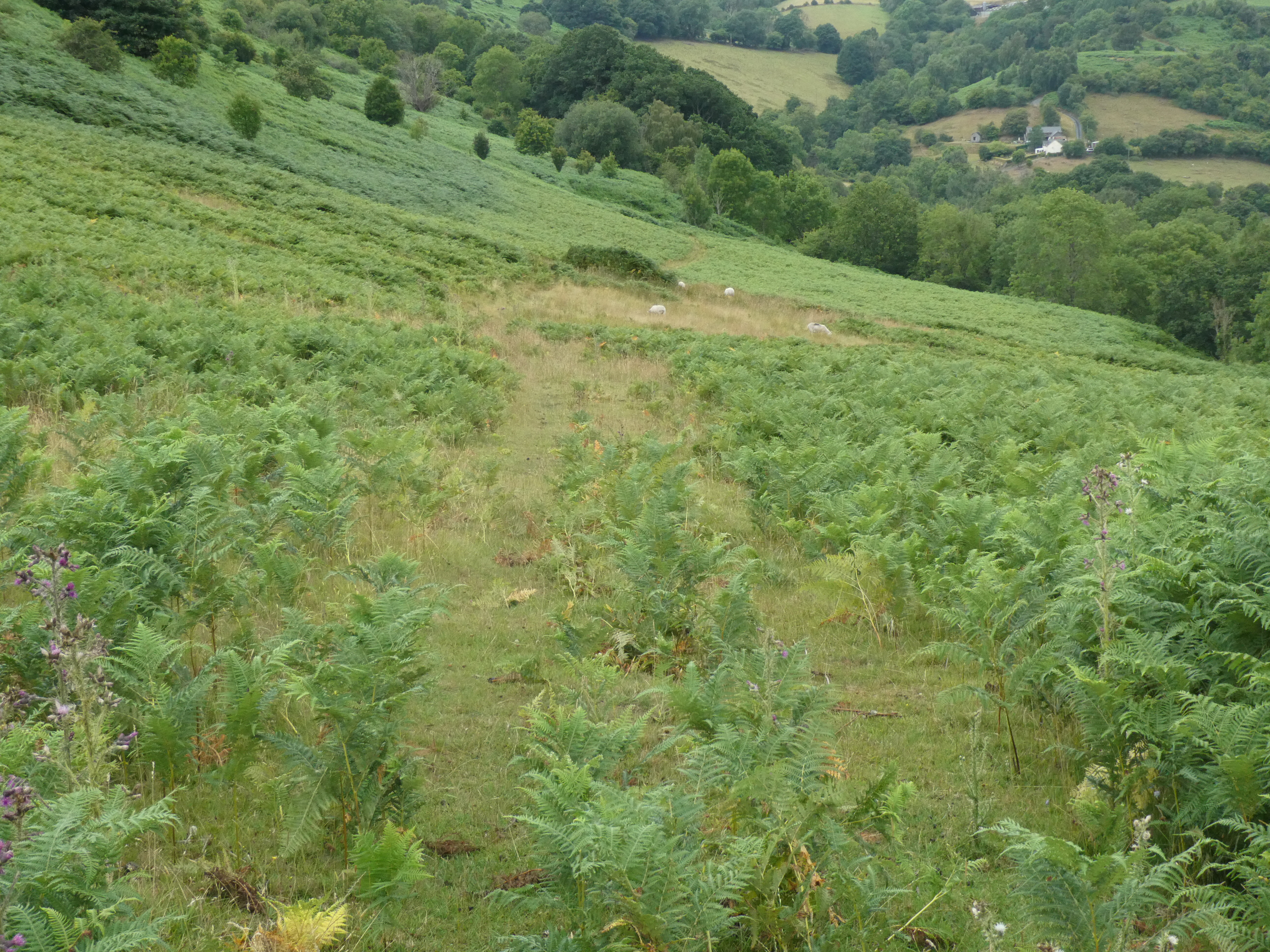
And of course it plunged down the hillside through a field of ferns, which should have been my second warning, but the path was pretty clear and not a fern-infested nightmare.
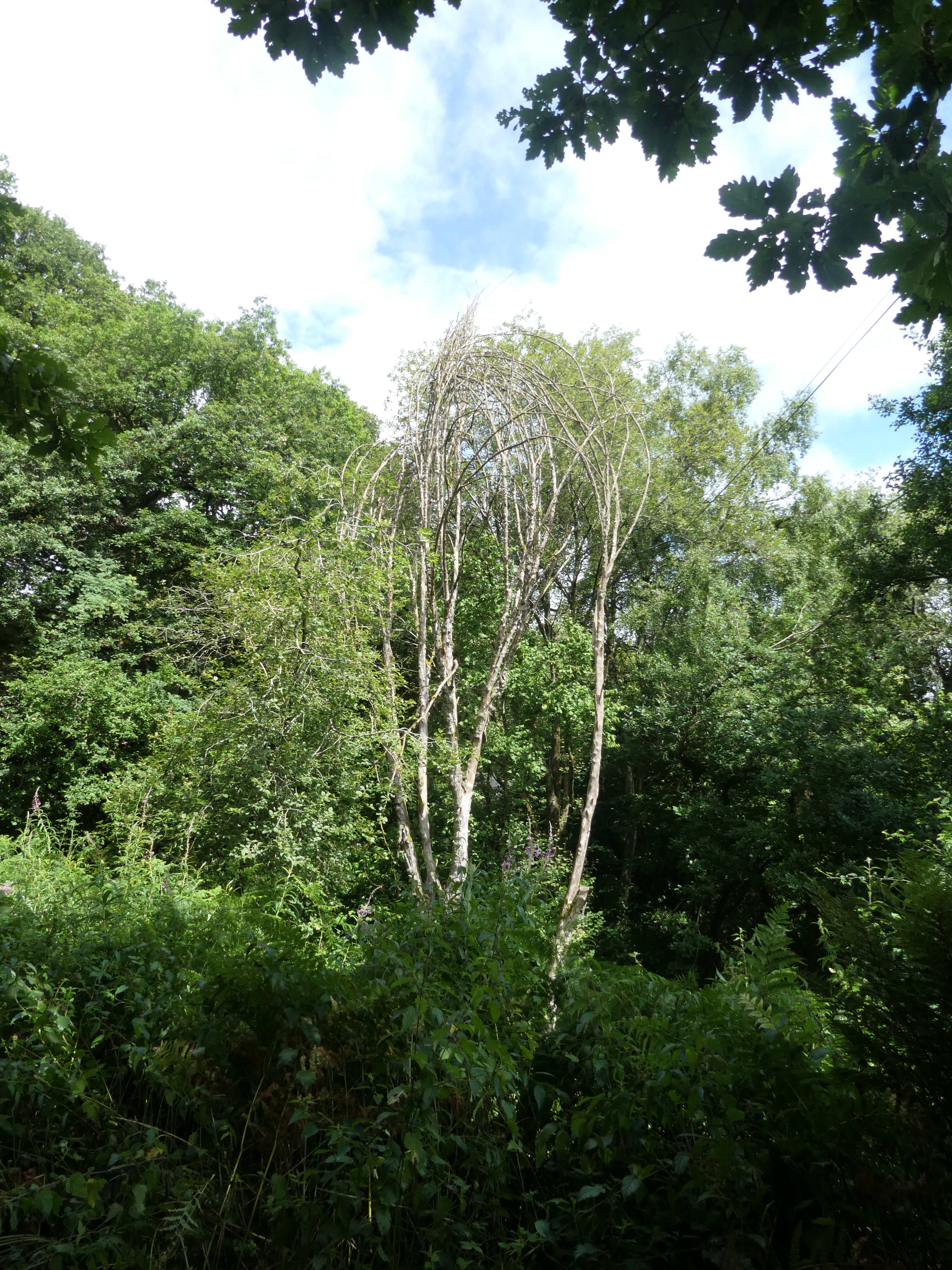
The path did some down, and then a bit more up (big surprise)and regained a paved road. Here’s a not especially good photograph of another one of life’s riddles: Did the tree grow this way naturally, or did humans intervene to weave the tops together, and if so, why?
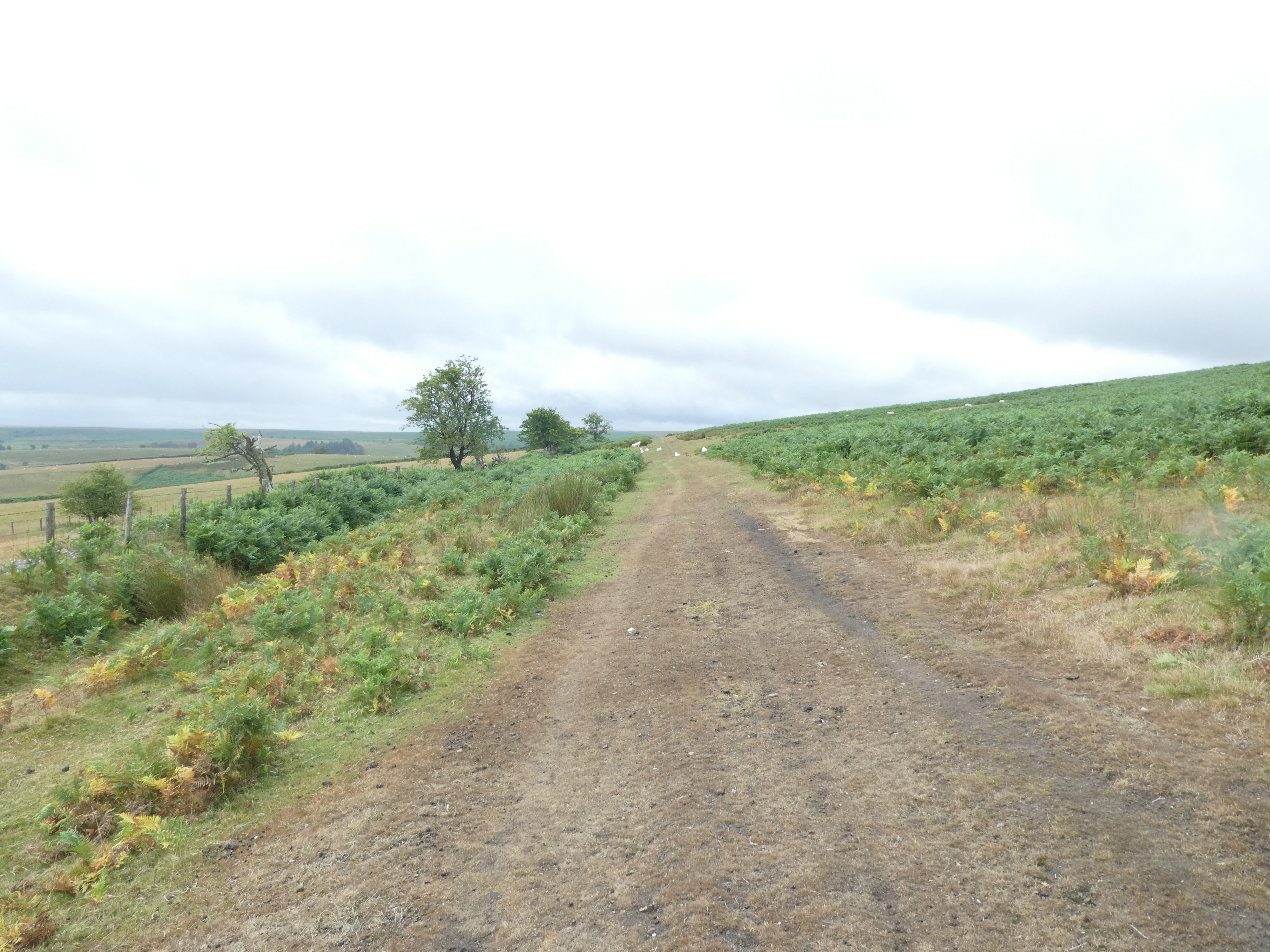
After something like a mile and a half on this road heading north on the high eastern edge of a long hill, the path turned up onto, wait for it, the commons.
In retrospect, I feel like Charlie Brown with that goddamn football. The thing about commons is that they are high pasture lands where everyone was allowed to graze their sheep in centuries gone by. On many, that’s still true. So there is often a maze of paths from herding sheep up onto, across, and down off the commons. And since there are often also farms tucked up on the edges of these high commons, there are some rutted roadlike paths leading to farms. What you need for a walking path that goes across a commons is good signage.
You see where this is going. A missed sharp right turn in the path, a good three quarters of a mile of walking on a path going in the wrong direction, the false lure of seeing hikers up ahead, more walking, then that sinking feeling. I got out the phone and did my geolocation magic. Even zoomed in, the app does not capture most walking paths, so I had to do my little dance of comparing my location on the phone screen to the Ordnance Survey map in my bag. Strong words were uttered, and I turned around, back around the hill to a point where I had literally thought to myself “that over by the farm fence looks like a sign post, but it doesn’t have any sign at all.” We can all laugh about it now, and I am sure you are, but at the time it was annoying as hell.
From here, there was just a long path with no signs and the guidebook describing things that might match what I was seeing? The book describes passing over two streams. Could those dried up rock beds be streams in a wetter year? Eventually, with a few stops to do map to phone comparisons, I got to a place where I saw not a sign pointing in my direction, but on a gate at the far end of a field I had gone around because there were no signs or indications to go through it, a sign for the Wye Valley Walk going the other way. I was back on the trail. The path plunged down the hill, and I had a classic encounter with sheep, which you are lucky that I anticipated the shape of. Sheep ahead. Narrowing path going toward gate. Sheep move forward away from me. More sheep get picked up as this goes on for forty or so yards. Some, realizing how this is going, bolt to the side of me, but a few determined idiots keep heading for the gate. And cue the video.
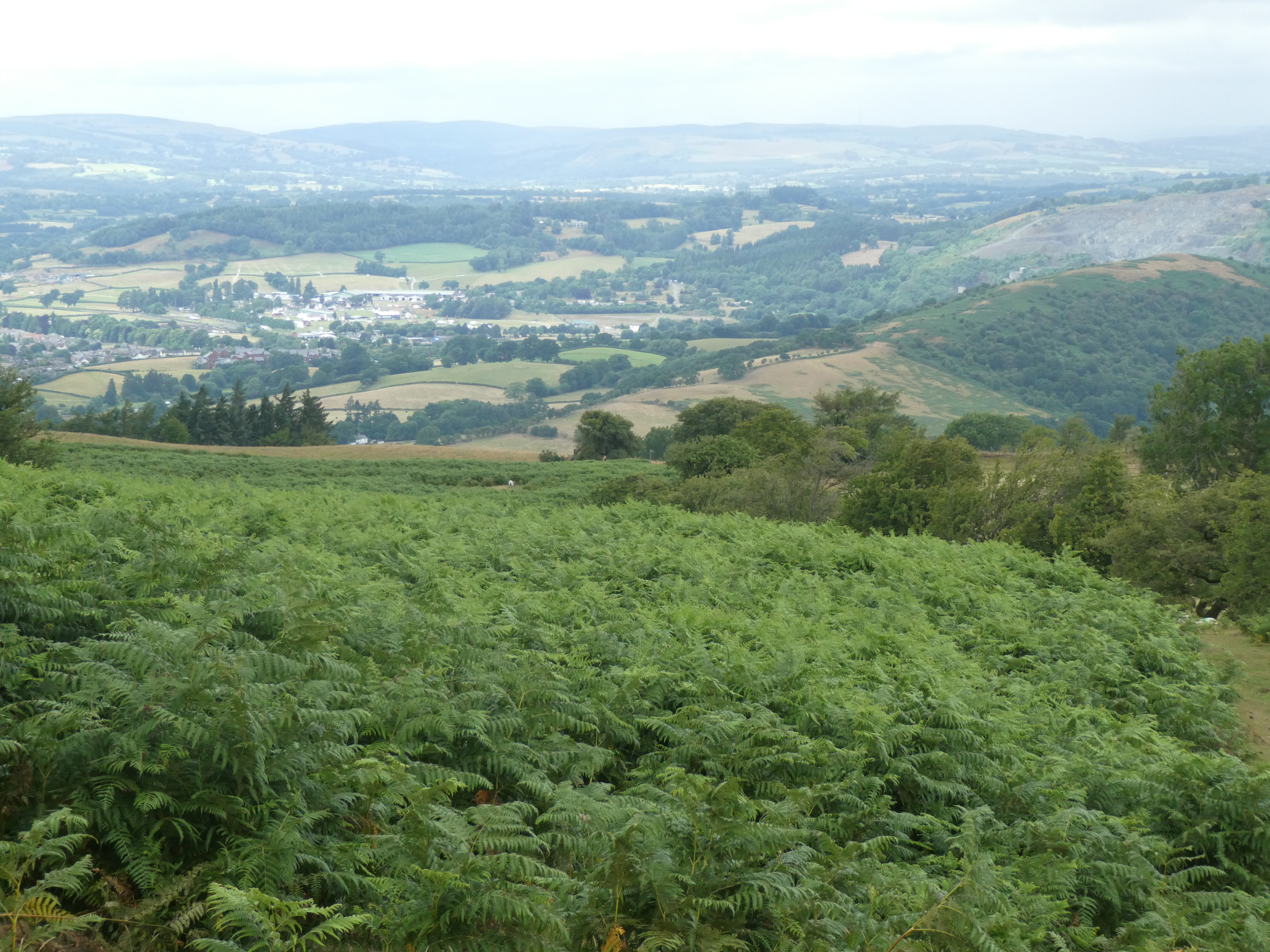
Shortly after this, I ran into a couple heading up the hill on a circular route from a campsite down by the river. I warned them about the dodgy signage, and in pointing up the trail I saw that there had been a couple behind me who were now maybe a hundred yards behind. But Builth was in view.
I had miles to cover, so I forged ahead, down the grassy path and eventually to a road, where I paused to look at the map and the directions (the sadder but wiser hiker). The couple caught up, and I recognized them from breakfast at the Griffin. They stopped and we chatted briefly, establishing that they are also staying at the same B&B tonight, but staying in Builth Wells for two nights, so this won’t be a multi-day friendship. They’re a nice Dutch couple in, I’d guess, their early 50s, and lean and fit. And they said something like “Yes, the trail was poorly marked. It is good we were using the OS app.” Ah, yes, I nodded sagely. The OS app. I decided to pause and let them forge ahead, mostly because I wasn’t in the mood to try to keep up chat for the last few miles.
So, I can now confirm that the company that makes Ordnance Survey maps also has an app that can keep you on the trail because it is taking your location and placing you on their more specific, accurate maps of terrain. This may be a game changer. From here, I was pretty tired, but not so tired as not to laugh at this:
After some crazy downhill scrabbling along an enclosed “bridle path” (taking a horse down this slippery mass of stones and fallen leaves would be animal cruelty– in fact, I would say doing to to myself was animal cruelty), and then a long bit of road walking, I got to Builth Wells, where my host greeted me with a bit of puzzlement. Yes, he was expecting me, but was I supposed to have a bag delivered? It was close to 4pm. Uh oh. For the first time in more than a decade of trips, with something like 100 luggage transfers, for the first time, one has gone wrong.
For this trip, because of the reports of lost luggage snafus, I bought an Airtag and put it in my bag. Since it pings off other Apple devices, you can’t be sure you’ll always know where it is, but there’s a good chance you can see where it is, or at least where it most recently met up with another device. (This is all anonymized, I am told by Apple’s literature, though I don’t really understand the details.)
So I broke out my phone, which told me that my bag had last been detected at the Griffin Inn no more than an hour before.
“It’s funny,” my host remarked, “because the driver said there was another bag at the Griffin but it wasn’t on his list.”
My daily itinerary sheet includes the contact info for each day’s luggage hauler, which is often a taxi company picking up extra money by moving bags around. Called the company, and the guy who answered the phone knew nothing about a pickup at the Griffin, but noted that his boss was on vacation and the receptionist wasn’t around. So I called Contours, the company that booked my trip. By now it was 4:30, and I knew they must be coming up on closing time, so I was getting nervous. But bless Richard at Contours. I explained the trouble, he made appropriate noises and said he would call the taxi company and get it sorted and get me my bag. He called back a few minutes later, was very apologetic for the mix-up, and said that, whatever the cock-up that was going on at that taxi service, he had them sending a car to get that bag to me. The office closed at 5:30, but he said he’d stay late until he knew I had a bag in hand. Right around 5:30, the bag arrived. Crisis averted.
So what lessons can we take from today? Planning for mishaps pays off. Be nice to people in customer service, because they can make your life better when things go wrong. When your gut says you’ve missed a turning in the path, trust it. And get the OS app, so you can be as unconcerned with bad trail marking as the nice Dutch couple.

Hi! I have been thoroughly enjoying thus iteration of your rambling. The fact that you make it despite the lack of signposts and without the app proves your skills!
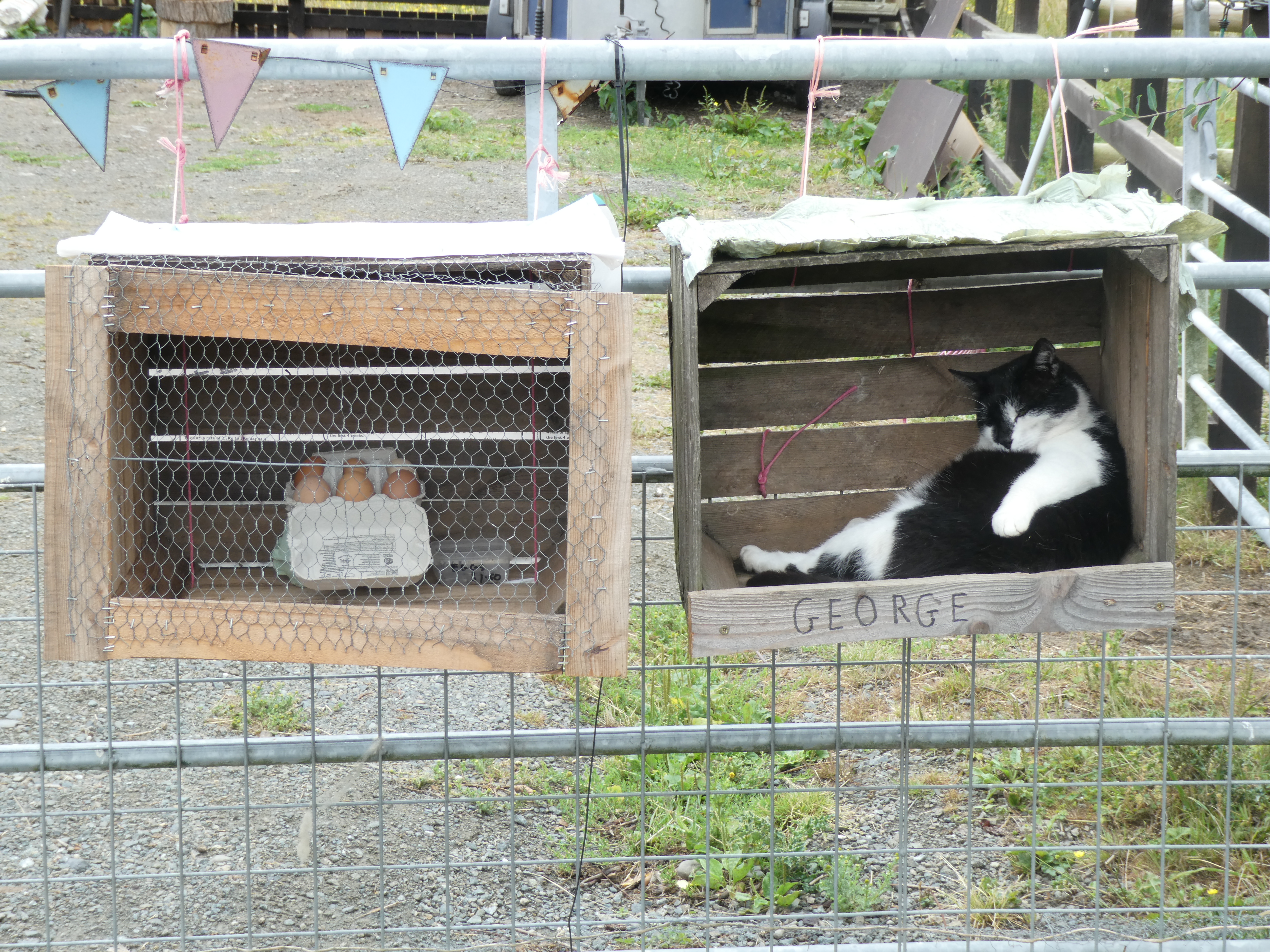
I have to say, I love that picture of George!!!!!
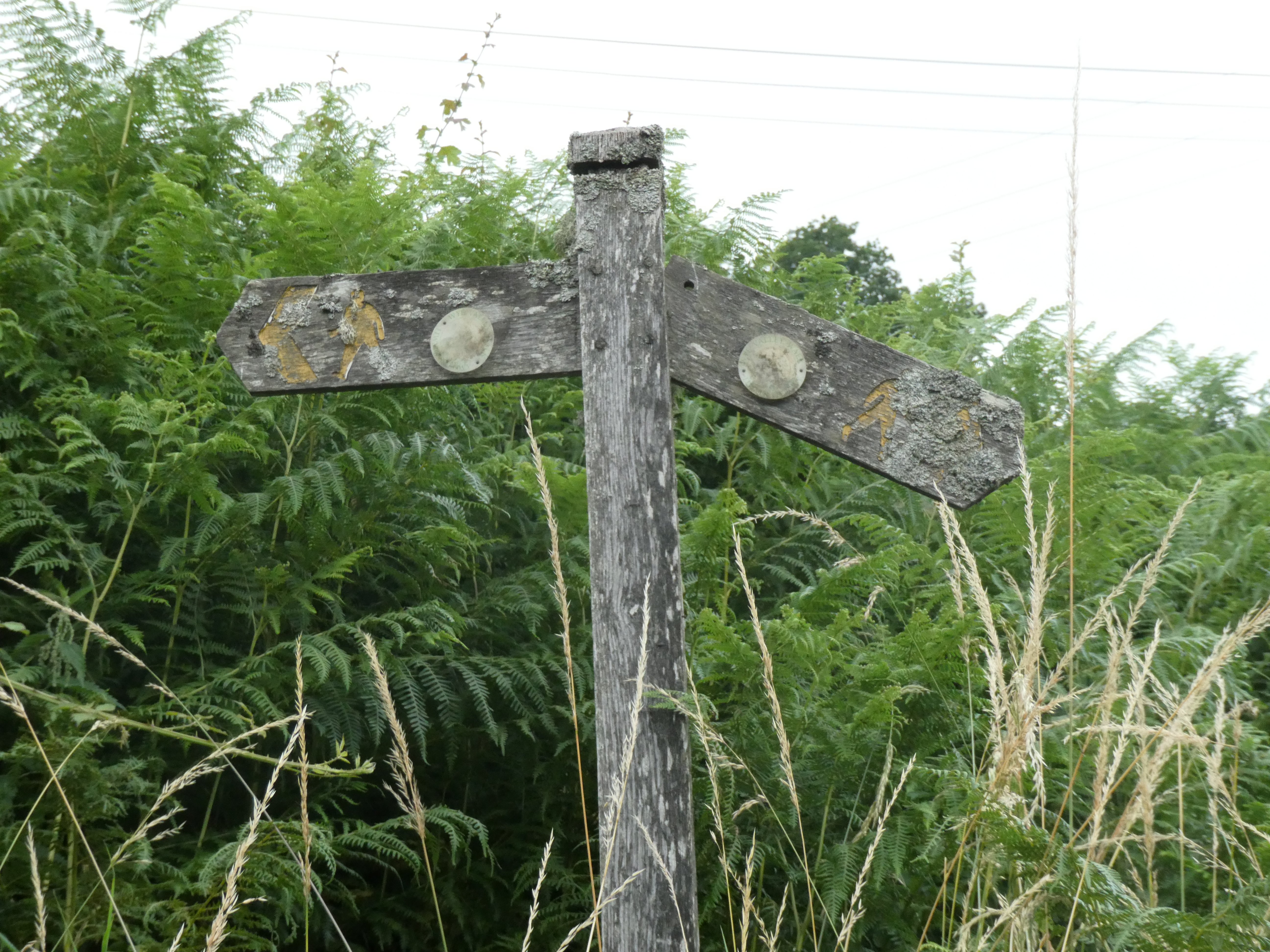
In order of amusement: the juxtaposition of the two signposts; George.